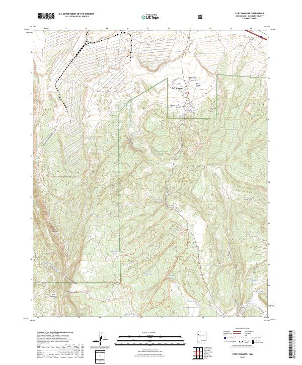
2023 Map of Fort Wingate
USGS Topo · Published 2023About this map
Fort Wingate serves as the focal point of this McKinley County landscape, situated where the high desert plateau meets the northern reaches of the Cibola National Forest. The map documents a complex system of water management and natural hydrology, featuring numerous named sources such as Santa Fe Spring, Milk Ranch Spring, and the prominent Fort Wingate Spring. These water features, alongside Lake McFerren and McGaffey Lake, indicate the vital role of moisture in this arid environment. The terrain is defined by dramatic geological formations, including The Hogback and the steep descents of Milk Ranch Canyon and Sixmile Canyon. A dense network of modern recreational and access routes, such as Painted Horse Trl and Smokin Handlebar Trl, weaves through the forest, while drainage patterns like Bread Springs Wash and Whitewater Arroyo illustrate the natural runoff channels of the high country.
Find a feature on this map
48 named features on this map. Tap any name to fly to it.
Don’t see what you’re looking for? This feature index may not catch every label — zoom into the map to look around manually.
Map Details
Editions of this 2023 Fort Wingate Map
This is the sole edition of this map. No revisions or reprints were ever made.
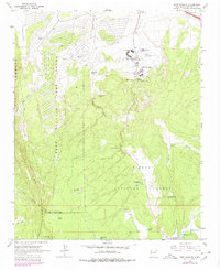
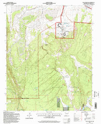
Historical Maps of McGaffey Through Time
3 maps found