Loading...
Loading map...2022 Map of Fowler
USGS Topo · Published 2022About this map
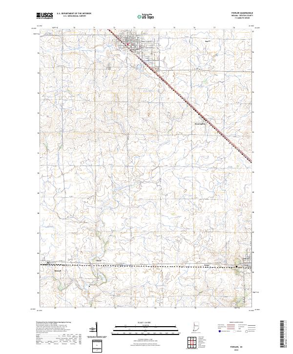
The Benton County Courthouse stands as the central landmark of Fowler, the primary hub of this Benton County landscape. The map illustrates a highly organized agricultural grid defined by numerous drainage systems such as Humbert Ditch, Wattles Ditch, and Seamans Ditch, which manage the water levels of Mud Cr and Mud Pine Cr. These waterworks reflect the region's intensive land management for farming.
Find a feature on this map
59 named features on this map. Tap any name to fly to it.
Don’t see what you’re looking for? This feature index may not catch every label — zoom into the map to look around manually.
Map Details
Date Portrayed2022
Date Published2022
PublisherU.S. Geological Survey
Map TypeTopographic
Scale1:24000
Physical Dimensions24 x 29 inches
Editions of this 2022 Fowler Map
This is the sole edition of this map. No revisions or reprints were ever made.
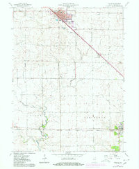
Historical Maps of Fargo Through Time
Featured Locations
Source Details
SourceU.S. Geological Survey
CopyrightPublic Domain