2021 Map of Frankfort
USGS Topo · Published 2021About this map
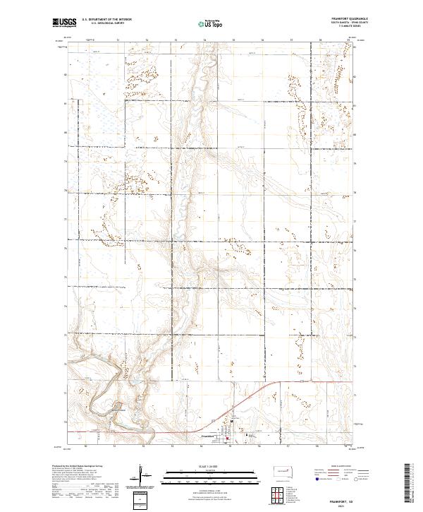
Frankfort occupies the southern reach of this Spink County landscape, situated where the James River meanders through the prairie. The town layout is defined by residential streets such as Madison Ave, Jefferson Ave, and Maple St, reflecting a settled agricultural community. This 2021 survey details the intricate hydrology of the region, including the seasonal watercourse of Dry Run and the unique landform of Motley Island, which is partitioned by the river's split channels. Local history is anchored by the presence of Saint Anne Cem and Mount Hope Cem, which serve as primary genealogical landmarks for the area. The surrounding terrain is organized by a precise grid of rural roads like 394th Ave and 168th St, illustrating the long-standing Public Land Survey System divisions that continue to govern South Dakota's farm country.
Find a feature on this map
34 named features on this map. Tap any name to fly to it.
Don’t see what you’re looking for? This feature index may not catch every label — zoom into the map to look around manually.
Map Details
Editions of this 2021 Frankfort Map
This is the sole edition of this map. No revisions or reprints were ever made.
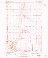
Historical Maps of Frankfort Through Time
Featured Locations
- Great Bend Township, SD
- Harmony Township, SD
- Jefferson Township, SD
- Lodi Township, SD
- Frankfort, Frankfort Township