2023 Map of Franklin
USGS Topo · Published 2023About this map
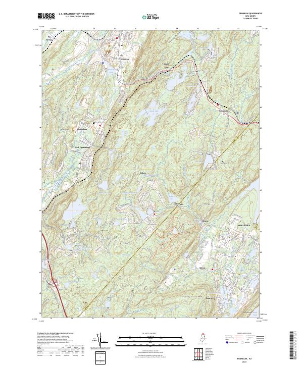
The Wallkill Valley serves as a primary corridor for settlement and industry in this portion of the Hamburg Mountains. The Wallkill River flows north through Franklin, where industrial heritage is prominent at the Sterling Mine near Sterling Hill. This landscape is defined by its complex geology and the historical extraction of minerals, particularly in the vicinity of Ogdensburg and South Ogdensburg. Local history is rooted in the small clusters of community life found at Saint Thomas Cem and Holland Cem, marking generations of residence in the valley.
Find a feature on this map
219 named features on this map. Tap any name to fly to it.
Don’t see what you’re looking for? This feature index may not catch every label — zoom into the map to look around manually.
Map Details
Editions of this 2023 Franklin Map
This is the sole edition of this map. No revisions or reprints were ever made.
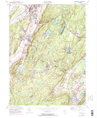
Historical Maps of Mahola Through Time
5 maps found


Featured Locations
- Rockaway Township, NJ
- West Milford, NJ
- Vernon Township, NJ
- Sparta Township, NJ
- Franklin, Hardyston Township