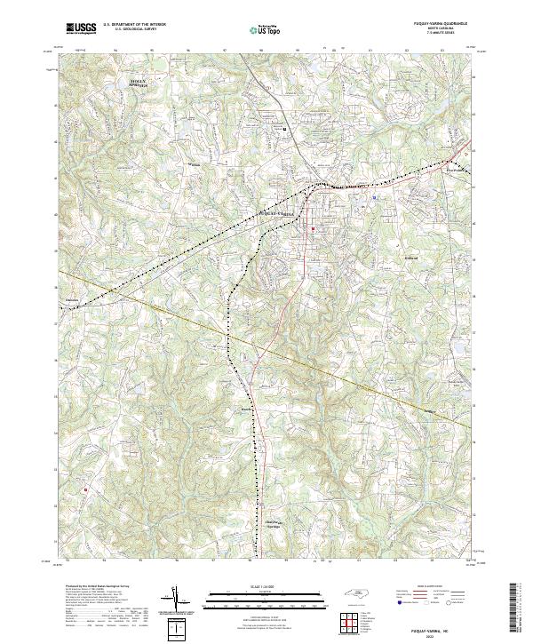
2022 Map of Fuquay-Varina
USGS Topo · Published 2022About this map
Fuquay-Varina serves as the central hub of this North Carolina landscape, where the convergence of several small streams and established roads marks the transition between the coastal plain and the piedmont. The terrain is defined by the drainage systems of Buckhorn Cr and Terrible Cr, which navigate a network of residential expansion and agricultural remnants. Along the southern border, the village of Chalybeate Springs sits near the winding course of Hector Cr, while the community of Angier anchors the southeastern corner across the county line.
Find a feature on this map
247 named features on this map. Tap any name to fly to it.
Don’t see what you’re looking for? This feature index may not catch every label — zoom into the map to look around manually.
Map Details
Editions of this 2022 Fuquay-Varina Map
This is the sole edition of this map. No revisions or reprints were ever made.
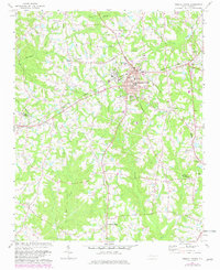
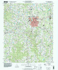
Historical Maps of Rawls Through Time
3 maps found