Loading...
Loading map...2023 Map of Galien
USGS Topo · Published 2023About this map
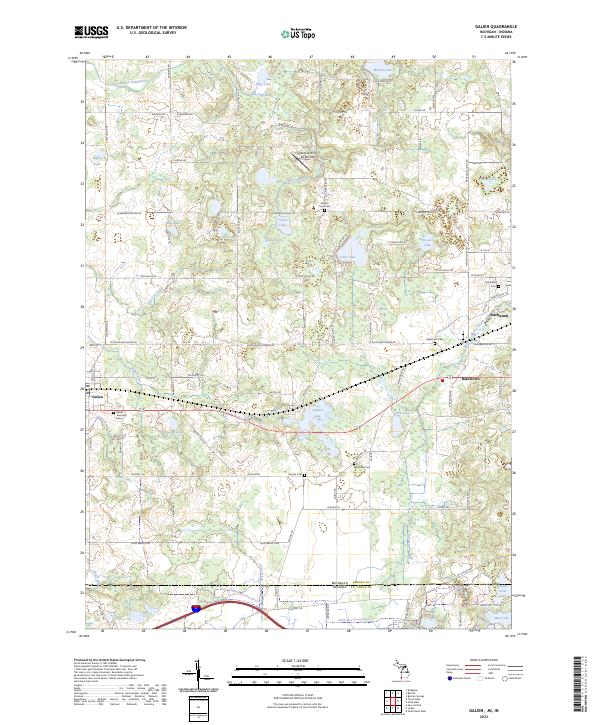
Galien and Bakertown anchor this 2023 survey of the landscape along the border of Michigan and Indiana. The area is defined by its glacial hydrology, featuring a dense network of kettle lakes and wetlands including Madron Lake, Dayton Lake, and Weaver Lake. The East Branch Galien River and Blue Jay Creek drain the western portion of the quadrangle, while McCoy Creek flows toward Buchanan in the east.
Find a feature on this map
92 named features on this map. Tap any name to fly to it.
Don’t see what you’re looking for? This feature index may not catch every label — zoom into the map to look around manually.
Map Details
Date Portrayed2023
Date Published2023
PublisherU.S. Geological Survey
Map TypeTopographic
Scale1:24000
Physical Dimensions24 x 29 inches
Editions of this 2023 Galien Map
This is the sole edition of this map. No revisions or reprints were ever made.
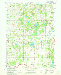
Historical Maps of Dayton Through Time
Featured Locations
Source Details
SourceU.S. Geological Survey
CopyrightPublic Domain