2023 Map of Geneva
USGS Topo · Published 2023About this map
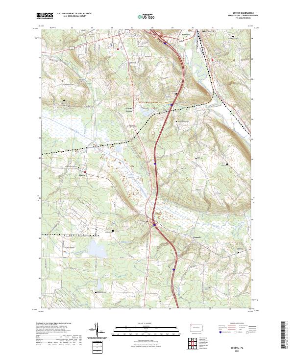
The Conneaut Marsh and the Conneaut Outlet dominate the central landscape of this Crawford County region, illustrating a complex hydrologic network south of Meadville. This modern survey details the transition from the upland aviation facilities at Port Meadville Airport to the low-lying wetlands and riparian corridors of the French Creek valley. Smaller communities such as Geneva, Custards, and Keborts Corners are connected by a web of local roads, including the Mike Wood Memorial Blvd. For genealogists and local historians, the map is remarkably dense with burial sites, ranging from large grounds like Roselawn Memorial Gardens and Saint Brigid's Cem in the north to more secluded locations such as Watson Run Cem, Andrews Cem, and the Trinity Reform Zion Cem.
Find a feature on this map
57 named features on this map. Tap any name to fly to it.
Don’t see what you’re looking for? This feature index may not catch every label — zoom into the map to look around manually.
Map Details
Editions of this 2023 Geneva Map
This is the sole edition of this map. No revisions or reprints were ever made.
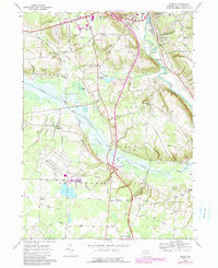
Historical Maps of Fairfield Township Through Time
Featured Locations
- Meadville, PA
- East Fairfield Township, PA
- Fairfield Township, PA
- Greenwood Township, PA
- Vernon Township, PA