Loading...
Loading map...2022 Map of Gowrie
USGS Topo · Published 2022About this map
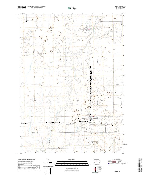
The town of Gowrie and the village of Callender define the rural landscape of this Webster County survey. Situated in the heart of Iowa's agricultural region, the terrain is shaped by a grid of county roads and a network of agricultural drainage features including Ditch Number 12 and Ditch Number 52. These man-made channels support the intensive farming that surrounds the communities, feeding into natural waterways like W Buttrick Cr and Tank Pond Cr.
Find a feature on this map
49 named features on this map. Tap any name to fly to it.
Don’t see what you’re looking for? This feature index may not catch every label — zoom into the map to look around manually.
Map Details
Date Portrayed2022
Date Published2022
PublisherU.S. Geological Survey
Map TypeTopographic
Scale1:24000
Physical Dimensions24 x 29 inches
Editions of this 2022 Gowrie Map
This is the sole edition of this map. No revisions or reprints were ever made.
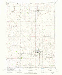
Historical Maps of Callender Through Time
Featured Locations
Source Details
SourceU.S. Geological Survey
CopyrightPublic Domain