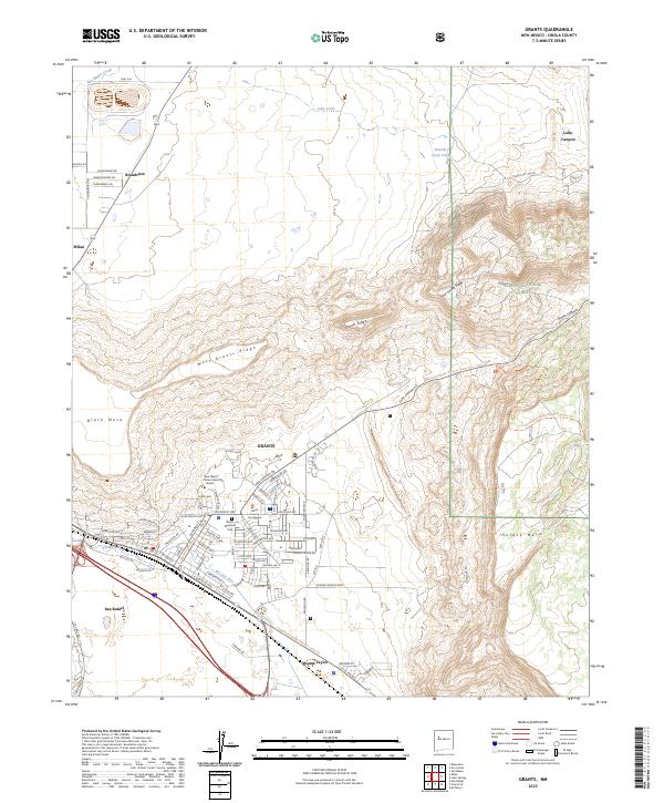
2023 Map of Grants
USGS Topo · Published 2023About this map
The high desert landscape of Grants is defined by a series of prominent volcanic and geological formations, including West Grants Ridge, Black Mesa, and Horace Mesa. The drainage of the Rio San Jose and Lobo Creek shapes the valley floor where the primary settlements of Milan, Broadview, and San Rafael are situated. This area serves as a critical transportation corridor, where the historic path of Hst Rte 66 and the modern tracks of the Bnsf Railway parallel one another through the pass.
Find a feature on this map
87 named features on this map. Tap any name to fly to it.
Don’t see what you’re looking for? This feature index may not catch every label — zoom into the map to look around manually.
Map Details
Editions of this 2023 Grants Map
This is the sole edition of this map. No revisions or reprints were ever made.
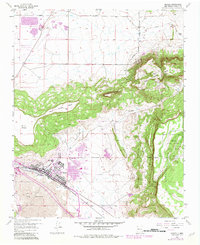
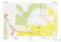
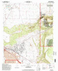
Historical Maps of Milan Through Time
4 maps found