Loading...
Loading map...2024 Map of Grayville
USGS Topo · Published 2024About this map
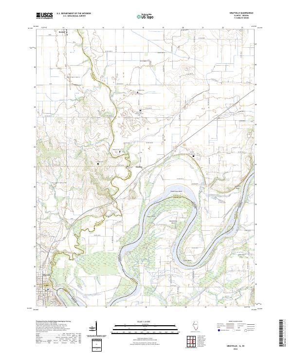
The Wabash River carves a winding path along the Illinois-Indiana border, defining the landscape around Grayville. This river-driven geography is marked by dramatic oxbows and islands, including Peankishaw Bend, Schuh Bend, and Pearl Island. To the west, the smaller Bonpas Creek and Mud Creek drain the agricultural flats, while McCleary Bluff provides a rare point of elevation overlooking the river valley.
Find a feature on this map
60 named features on this map. Tap any name to fly to it.
Don’t see what you’re looking for? This feature index may not catch every label — zoom into the map to look around manually.
Map Details
Date Portrayed2024
Date Published2024
PublisherU.S. Geological Survey
Map TypeTopographic
Scale1:24000
Physical Dimensions24 x 29 inches
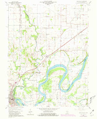
Editions of this 2024 Grayville Map
This is the sole edition of this map. No revisions or reprints were ever made.
Historical Maps of Upper Hills Through Time
Featured Locations
Source Details
SourceU.S. Geological Survey
CopyrightPublic Domain