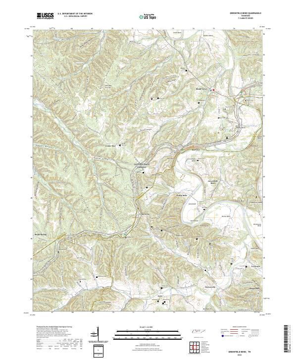
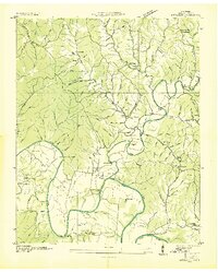
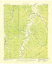
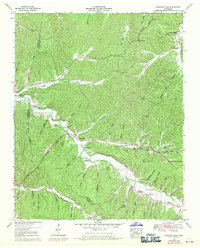
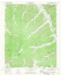
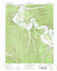
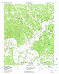
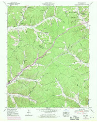
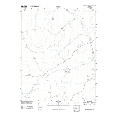
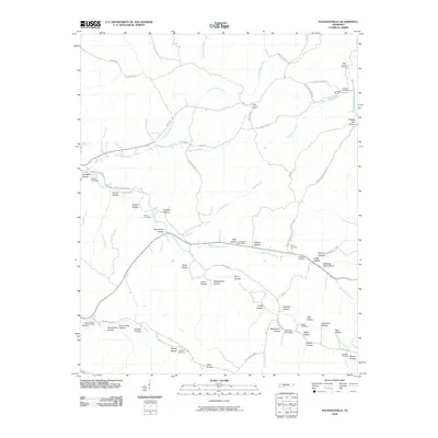
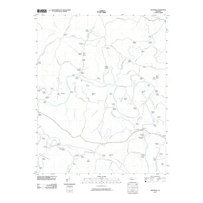
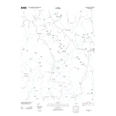
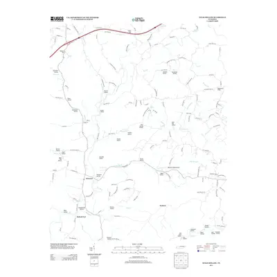
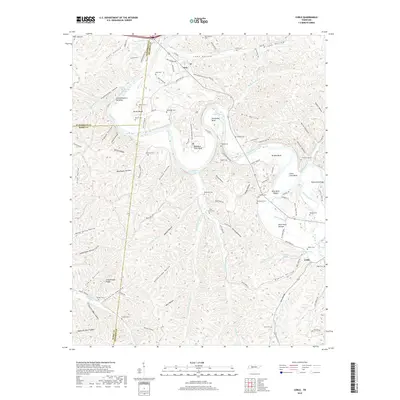
2022 Map of Greenfield Bend
USGS Topo · Published 2022About this map
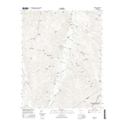
The winding Duck River carves a deep path through the borderlands of Hickman and Maury Counties, anchoring a landscape defined by sharp ridges and alluvial bends. Small crossroads and hamlets such as Kettle Mills and Shady Grove serve as historic focal points for the surrounding hollows. The topography is exceptionally detailed, showing the intricate drainage patterns of Catheys Creek and Blue Buck Cr, which have shaped local settlement for generations.
Find a feature on this map
205 named features on this map. Tap any name to fly to it.
Don’t see what you’re looking for? This feature index may not catch every label — zoom into the map to look around manually.
Map Details
Editions of this 2022 Greenfield Bend Map
This is the sole edition of this map. No revisions or reprints were ever made.
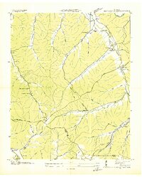
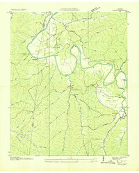
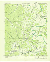
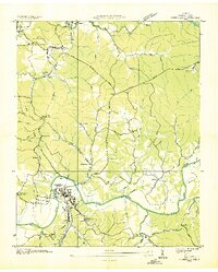
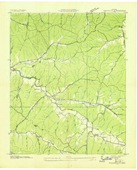
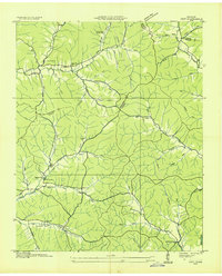
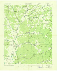
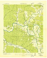
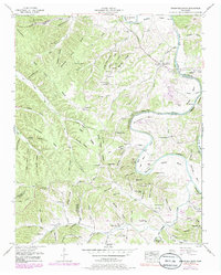
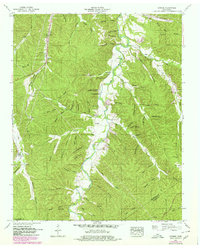
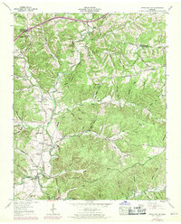
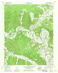
Historical Maps of Isom Through Time
64 maps found
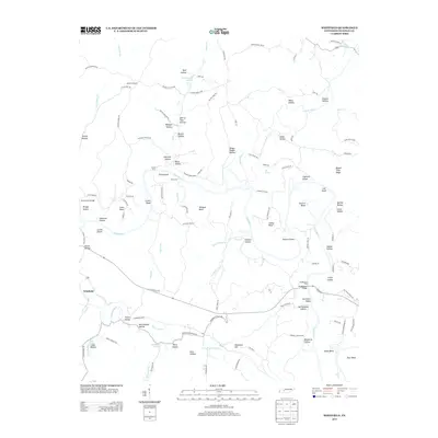
1936 Beaverdam Springs
Hickman County, TN
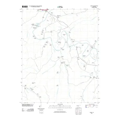
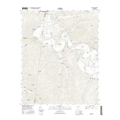
1936 Coble
Hickman County, TN
1936 Greenfield Bend
Hickman County, TN
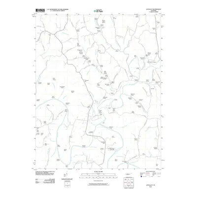
1936 Littlelot
Hickman County, TN
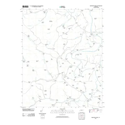
1936 Nunnelly
Hickman County, TN
1936 Pleasantville
Hickman County, TN
1936 Spot
Hickman County, TN
1936 Sunrise
Hickman County, TN
1936 Texas Hollow
Hickman County, TN
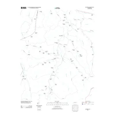
1936 Whitfield
Hickman County, TN
1951 Greenfield Bend
Hickman County, TN
1951 Pleasantville
Hickman County, TN
1952 Beaverdam Springs
Hickman County, TN
1952 Coble
Hickman County, TN
1952 Littlelot
Hickman County, TN
1952 Spot
Hickman County, TN
1952 Sunrise
Hickman County, TN
1952 Texas Hollow
Hickman County, TN
1952 Whitfield
Hickman County, TN
2010 Beaverdam Springs
Hickman County, TN
2010 Coble
Hickman County, TN
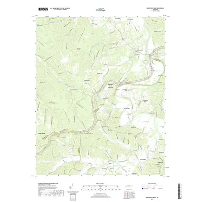
2010 Greenfield Bend
Hickman County, TN
2010 Littlelot
Hickman County, TN
2010 Pleasantville
Hickman County, TN
2010 Spot
Hickman County, TN
2010 Sunrise
Hickman County, TN
2010 Texas Hollow
Hickman County, TN
2010 Whitfield
Hickman County, TN
2013 Beaverdam Springs
Hickman County, TN
2013 Coble
Hickman County, TN
2013 Greenfield Bend
Hickman County, TN
2013 Littlelot
Hickman County, TN
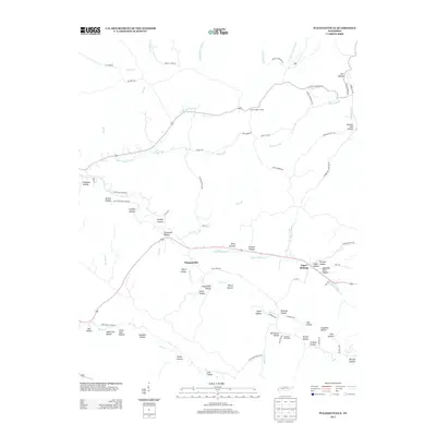
2013 Pleasantville
Hickman County, TN
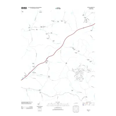
2013 Spot
Hickman County, TN
2013 Sunrise
Hickman County, TN
2013 Texas Hollow
Hickman County, TN
2013 Whitfield
Hickman County, TN
2016 Beaverdam Springs
Hickman County, TN
2016 Coble
Hickman County, TN
2016 Greenfield Bend
Hickman County, TN
2016 Littlelot
Hickman County, TN
2016 Pleasantville
Hickman County, TN
2016 Spot
Hickman County, TN
2016 Sunrise
Hickman County, TN
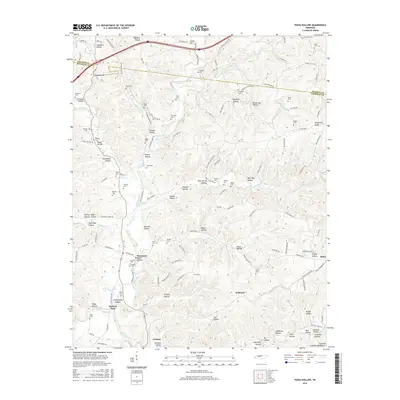
2016 Texas Hollow
Hickman County, TN
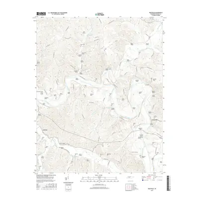
2016 Whitfield
Hickman County, TN
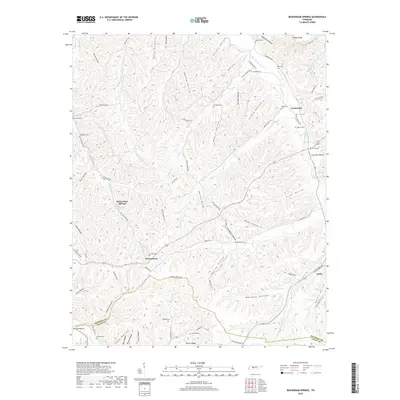
2019 Beaverdam Springs
Hickman County, TN
2019 Coble
Hickman County, TN
2019 Greenfield Bend
Hickman County, TN
2019 Littlelot
Hickman County, TN
2019 Pleasantville
Hickman County, TN
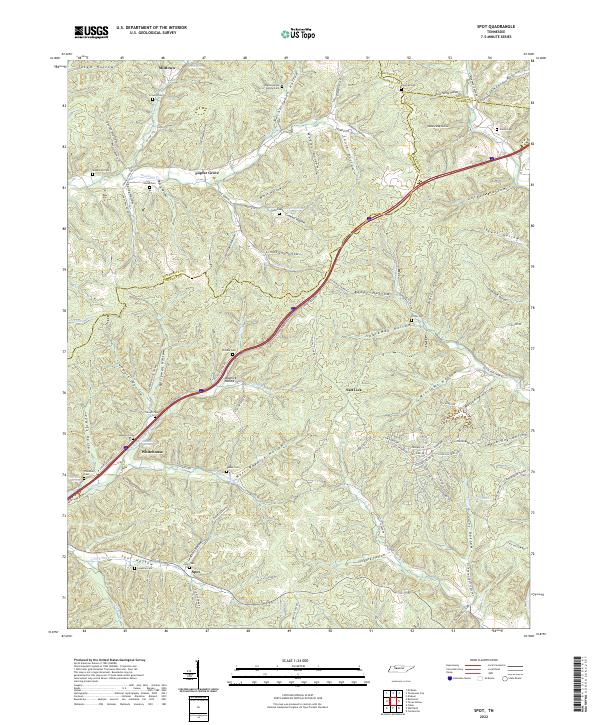
2019 Spot
Hickman County, TN
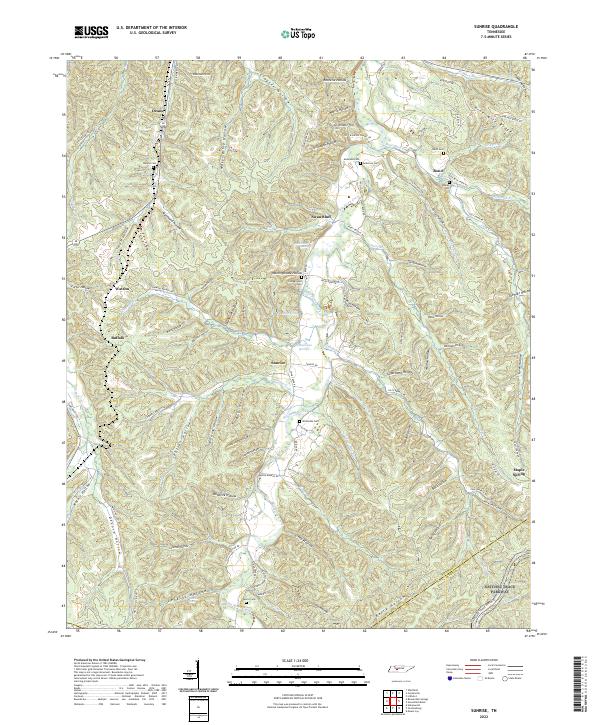
2019 Sunrise
Hickman County, TN
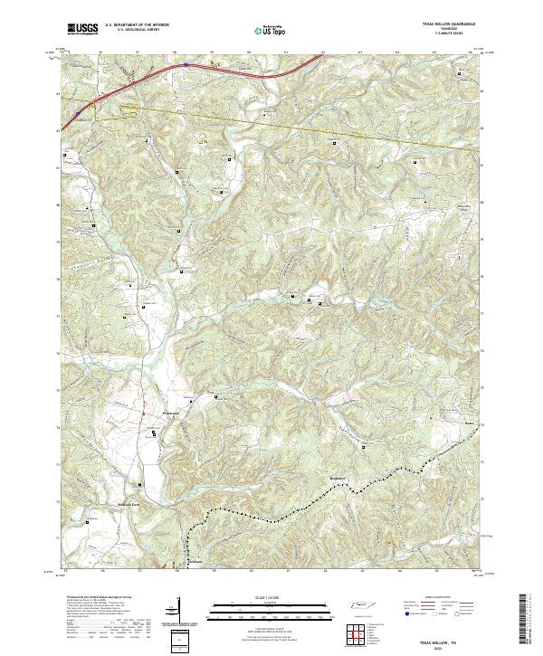
2019 Texas Hollow
Hickman County, TN
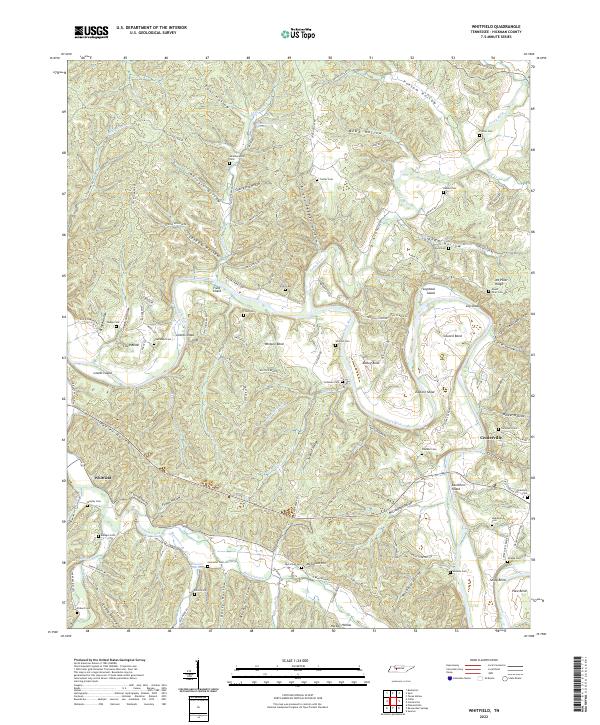
2019 Whitfield
Hickman County, TN
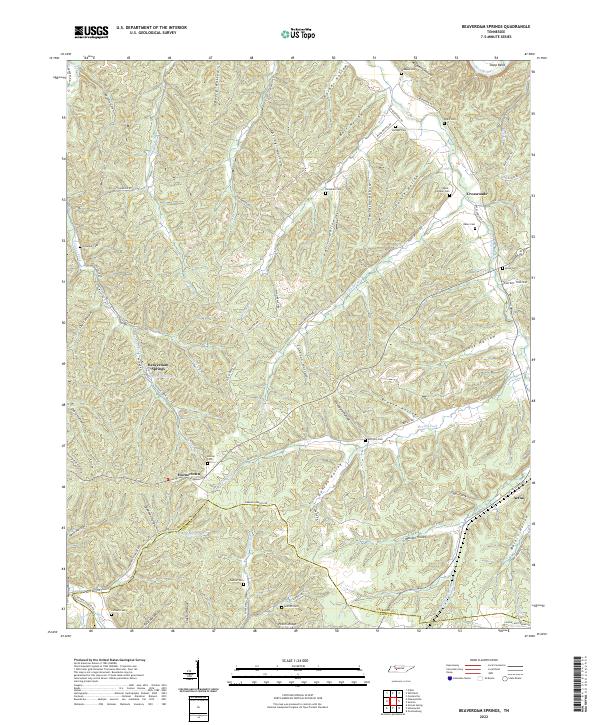
2022 Beaverdam Springs
Hickman County, TN
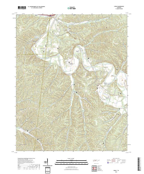
2022 Coble
Hickman County, TN
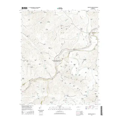
2022 Greenfield Bend
Hickman County, TN
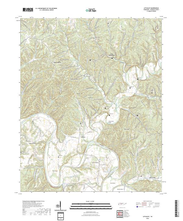
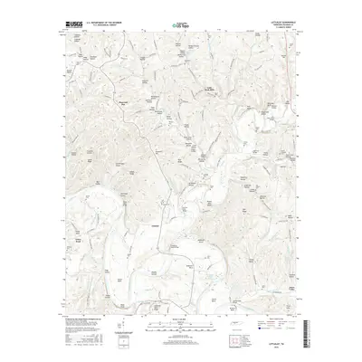
2022 Littlelot
Hickman County, TN
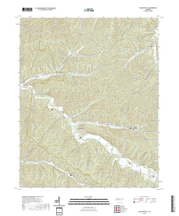
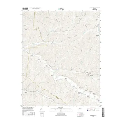
2022 Pleasantville
Hickman County, TN
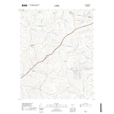
2022 Spot
Hickman County, TN
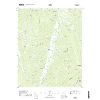
2022 Sunrise
Hickman County, TN
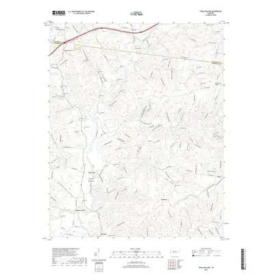
2022 Texas Hollow
Hickman County, TN
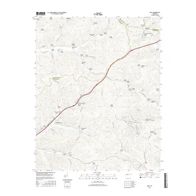
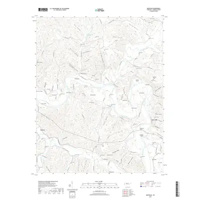
2022 Whitfield
Hickman County, TN