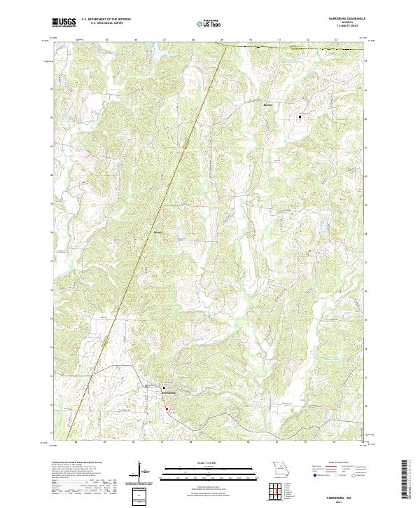
2021 Map of Harrisburg
USGS Topo · Published 2021About this map
Harrisburg serves as the primary hub in this central Missouri landscape, where the confluence of several small watercourses like Callahan Cr and Blaze Cr shape the local topography. This 2021 record highlights a network of rural communities, including Minnie and Rucker, which are connected by a web of county roads and state routes. The area is characterized by its agricultural character and the presence of several significant water bodies, most notably Charles Hood Lake to the north and Monte Gurwit Lake to the southeast. Genealogists will find particular value in the documentation of the Harrisburg Cem and Robison Cem, providing precise locations for family research. The map also delineates the jurisdictional boundaries where Boone Co meets Howard Co and Randolph Co, reflecting the administrative divisions that have long defined the region's local governance and property records.
Find a feature on this map
77 named features on this map. Tap any name to fly to it.
Don’t see what you’re looking for? This feature index may not catch every label — zoom into the map to look around manually.
Map Details
Editions of this 2021 Harrisburg Map
This is the sole edition of this map. No revisions or reprints were ever made.
Other maps of this area

1890 · Moberly
USGS Topo · 1:125,000

1890 · Glasgow
USGS Topo · 1:125,000

1917 · Sturgeon
USGS Topo · 1:62,500

1952 · Hilldale
USGS Topo · 1:24,000

1953 · Moberly
USGS Topo · 1:250,000

1953 · Burton
USGS Topo · 1:24,000

1953 · Renick
USGS Topo · 1:24,000

1953 · Higbee
USGS Topo · 1:24,000

1953 · Clark
USGS Topo · 1:24,000

1954 · Moberly
USGS Topo · 1:250,000