2021 Map of Hartington
USGS Topo · Published 2021About this map
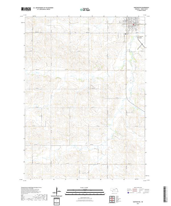
Hartington serves as the focal point of this Cedar County landscape, where the grid of the town site meets the rolling drainage basins of Bow Creek and Pearl Creek. The civic heart of the community is anchored by the Cedar County Courthouse, while the local history of the area is further preserved at Saint Michaels Cem just south of the main residential blocks. Aviation and transport interests are represented by the Hartington Municipal Airport/ Bud Becker Field situated on the eastern edge of the township.
Find a feature on this map
42 named features on this map. Tap any name to fly to it.
Don’t see what you’re looking for? This feature index may not catch every label — zoom into the map to look around manually.
Map Details
Editions of this 2021 Hartington Map
This is the sole edition of this map. No revisions or reprints were ever made.