2022 Map of Henderson
USGS Topo · Published 2022About this map
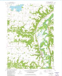
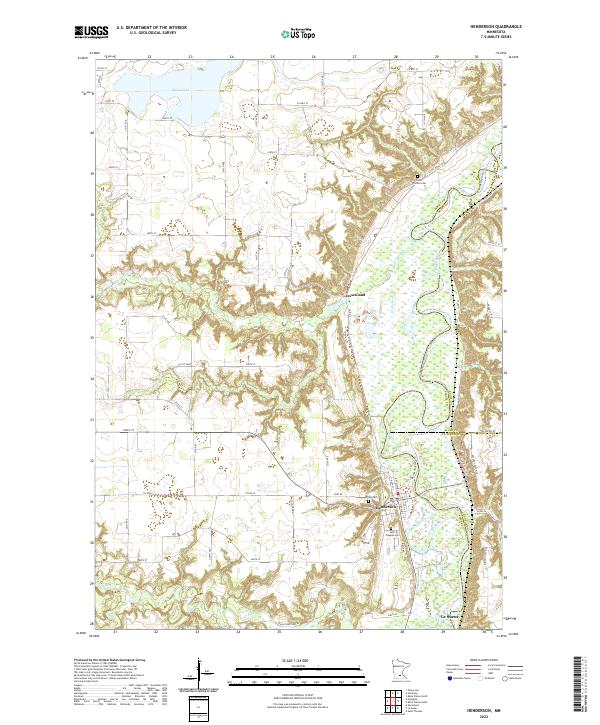
Henderson sits along the winding course of the Minnesota River, serving as a focal point for the surrounding agricultural landscape where Sibley, Scott, and Le Sueur counties meet. The river valley is defined by dramatic topographic relief, contrasting the flat upland farmsteads with the intricate wetlands and wooded bluffs of the river bottom. To the north, Silver Lake and High Island Cr drain through the till plains, while the southern reaches are marked by the confluence of the Rush River and Buffalo Cr.
Find a feature on this map
63 named features on this map. Tap any name to fly to it.
Don’t see what you’re looking for? This feature index may not catch every label — zoom into the map to look around manually.
Map Details
Editions of this 2022 Henderson Map
This is the sole edition of this map. No revisions or reprints were ever made.