Loading...
Loading map...2024 Map of Highgate Center
USGS Topo · Published 2024About this map
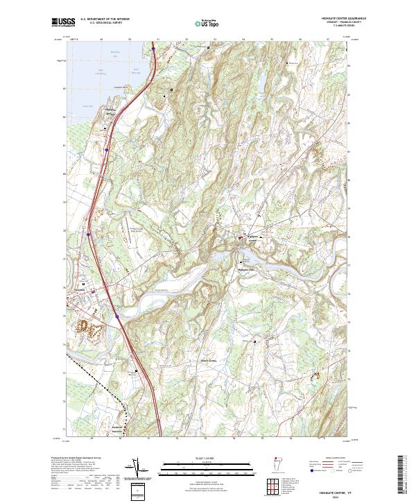
The Missisquoi River carves a dramatic path through this Vermont landscape, flowing past Highgate Falls toward its mouth at Missisquoi Bay. The river's influence on the local economy and settlement pattern is evident in the cluster of villages from Highgate Center to Swanton. Along the eastern shore of Lake Champlain, the Missisquoi National Wildlife Refuge preserves critical wetlands, while the interior is dotted with historical markers like the J G Saxe Monument.
Find a feature on this map
87 named features on this map. Tap any name to fly to it.
Don’t see what you’re looking for? This feature index may not catch every label — zoom into the map to look around manually.
Map Details
Date Portrayed2024
Date Published2024
PublisherU.S. Geological Survey
Map TypeTopographic
Scale1:24000
Physical Dimensions24 x 29 inches
Editions of this 2024 Highgate Center Map
This is the sole edition of this map. No revisions or reprints were ever made.
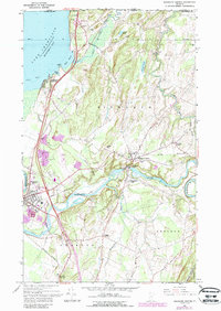
Historical Maps of Fairfield Through Time
Featured Locations
Source Details
SourceU.S. Geological Survey
CopyrightPublic Domain