2021 Map of Highlandville
USGS Topo · Published 2021About this map
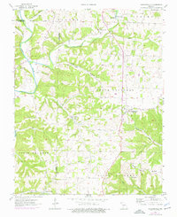
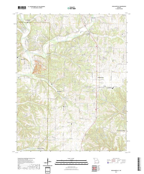
Highlandville serves as the central hub of this Missouri landscape, situated where the terrain begins to ripple between the James River and Finley Creek. The settlement pattern follows the high ground of ridges like Green Mound Ridge and Bear Ridge, with rural life clustered around an exceptional number of family and community burial grounds, including the Highlandville Independent Order of Odd Fellows Cem and the Jones Chastain Cem. These small, localized cemeteries often mark the historical locations of family farmsteads and early communities like Montague and Riverdale.
Find a feature on this map
152 named features on this map. Tap any name to fly to it.
Don’t see what you’re looking for? This feature index may not catch every label — zoom into the map to look around manually.
Map Details
Editions of this 2021 Highlandville Map
This is the sole edition of this map. No revisions or reprints were ever made.