Loading...
Loading map...2024 Map of Homer
USGS Topo · Published 2024About this map
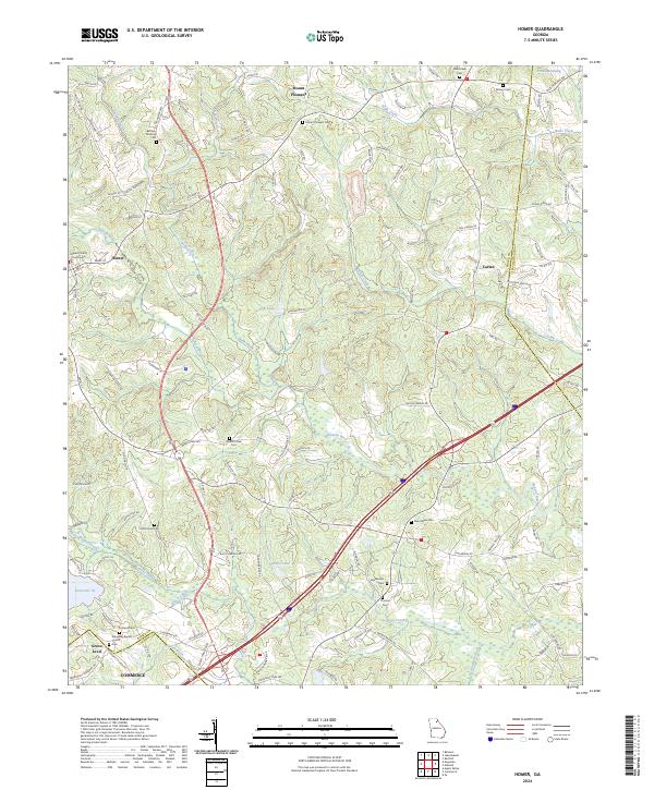
Homer serves as the focal point of this North Georgia landscape, where the Banks County Courthouse marks the center of local civic life. The terrain is defined by the winding course of the Hudson River and its numerous tributaries, including Webb Creek and Nails Creek. Small settlements and crossroads like Carlan and Grove Level are connected by a network of rural routes and the modern corridor of the industrial south, where Commerce borders the southern edge of the map.
Find a feature on this map
126 named features on this map. Tap any name to fly to it.
Don’t see what you’re looking for? This feature index may not catch every label — zoom into the map to look around manually.
Map Details
Date Portrayed2024
Date Published2024
PublisherU.S. Geological Survey
Map TypeTopographic
Scale1:24000
Physical Dimensions24 x 29 inches
Editions of this 2024 Homer Map
This is the sole edition of this map. No revisions or reprints were ever made.
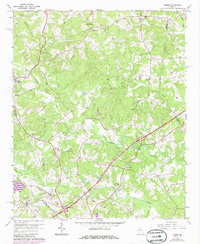
Historical Maps of Mount Pleasant Through Time
Featured Locations
Source Details
SourceU.S. Geological Survey
CopyrightPublic Domain