2024 Map of Howey-in-the-Hills
USGS Topo · Published 2024About this map
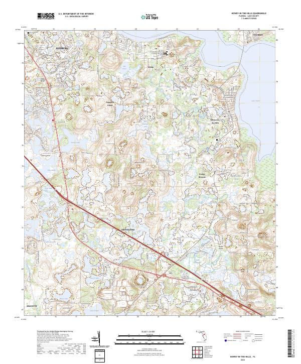
Lake Harris and its southern finger, Porto Fino Bay, dominate the northeast corner of this Lake County landscape, where the citrus heritage of the region is reflected in places like Orange Blossom. The area is characterized by a dense network of lakes and marshes, including Lake Annabelle Reed, Dilly Marsh, and the winding Palatlakaha River near Mascotte. Significant local history is preserved in the numerous cemeteries such as Yalaha Cem, Allen Pierce Cem, and Taylor Memorial Cem, which serve as vital markers for genealogical research in this part of Florida.
Find a feature on this map
194 named features on this map. Tap any name to fly to it.
Don’t see what you’re looking for? This feature index may not catch every label — zoom into the map to look around manually.
Map Details
Editions of this 2024 Howey-in-the-Hills Map
This is the sole edition of this map. No revisions or reprints were ever made.
Historical Maps of Pumpkin Center Through Time
1 maps found