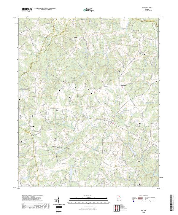
2024 Map of Ila
USGS Topo · Published 2024About this map
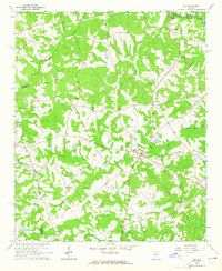
The South Fork Broad River and the Hudson River converge in this corner of Northeast Georgia, where Madison, Franklin, and Jackson counties meet. The landscape is defined by its agrarian roots and a dense network of family-named cemeteries and rural churches, such as Galilee Holiness Church and Wesley Chapel. The community of Ila serves as a local hub, while smaller named settlements like Pocataligo, Alvin, and Rogers are connected by winding country roads and numerous small tributaries like Furnace Creek and Wolf Branch.
Find a feature on this map
162 named features on this map. Tap any name to fly to it.
Don’t see what you’re looking for? This feature index may not catch every label — zoom into the map to look around manually.
Map Details
Editions of this 2024 Ila Map
This is the sole edition of this map. No revisions or reprints were ever made.