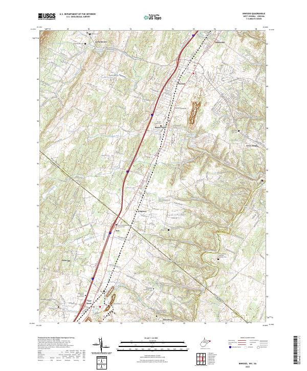
2023 Map of Inwood
USGS Topo · Published 2023About this map
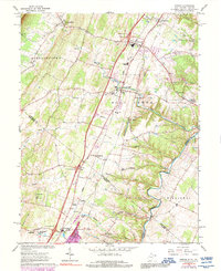
Gerrardstown and Inwood anchor this modern survey of the Berkeley County and Frederick County borderlands. The landscape is defined by the winding course of Opequon Creek and a dense network of named springs, such as Grey Spring and LeFevre Spring, which hint at the region's long-standing reliance on local hydrology for agriculture and settlement. The infrastructure of the early 21st century is evident in the presence of Taylors Airport and the industrial activity near Inwood Quarry Rd.
Find a feature on this map
212 named features on this map. Tap any name to fly to it.
Don’t see what you’re looking for? This feature index may not catch every label — zoom into the map to look around manually.
Map Details
Editions of this 2023 Inwood Map
This is the sole edition of this map. No revisions or reprints were ever made.