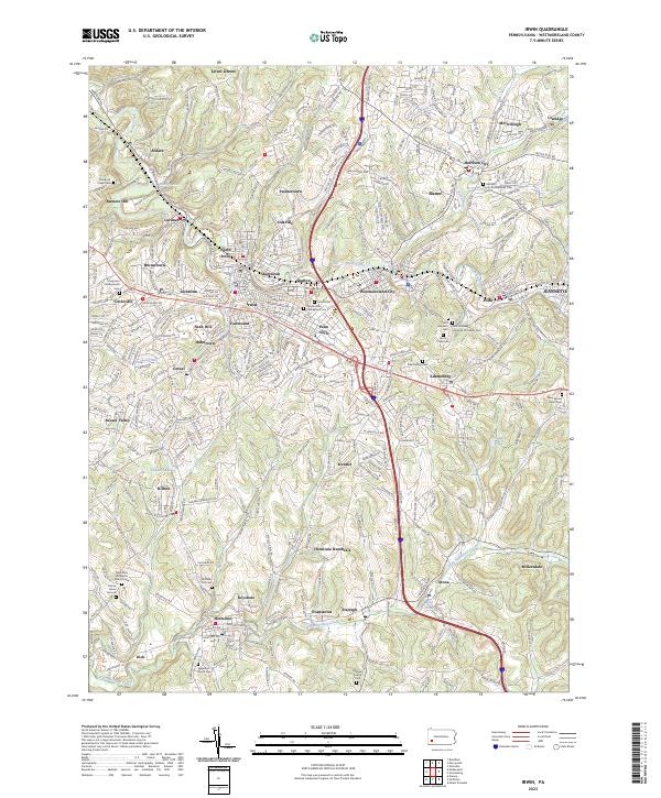
2023 Map of Irwin
USGS Topo · Published 2023About this map
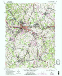
Brush Creek and the Norfolk Southern rail line anchor a dense network of industrial-era settlements and mining towns across this portion of Westmoreland County. The landscape is defined by its transition from suburban centers like Irwin and North Irwin to coal-country patches and historic family-named locations such as Herminie Number 2 and Dick. Genealogists will find a high concentration of burial sites, including the Old Brush Creek Cem and the Friends Burial Ground, reflecting the region's diverse early religious communities.
Find a feature on this map
68 named features on this map. Tap any name to fly to it.
Don’t see what you’re looking for? This feature index may not catch every label — zoom into the map to look around manually.
Map Details
Editions of this 2023 Irwin Map
This is the sole edition of this map. No revisions or reprints were ever made.