Loading...
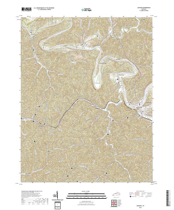
Loading map...2022 Map of Jackson
USGS Topo · Published 2022About this map
The North Fork Kentucky River meanders sharply through the heart of Breathitt County, carving dramatic features like Miller Bend and Cy Bend. This 2022 survey captures the regional hub of Jackson and the adjacent Panhandle neighborhood, where the Breathitt County Judicial Center serves as a central landmark. The landscape is characterized by a dense network of hollows and ridges, with higher elevations such as High Knob overlooking the river valleys.
Find a feature on this map
109 named features on this map. Tap any name to fly to it.
Don’t see what you’re looking for? This feature index may not catch every label — zoom into the map to look around manually.
Map Details
Date Portrayed2022
Date Published2022
PublisherU.S. Geological Survey
Map TypeTopographic
Scale1:24000
Physical Dimensions24 x 29 inches
Editions of this 2022 Jackson Map
This is the sole edition of this map. No revisions or reprints were ever made.
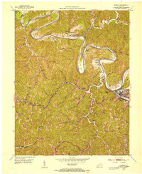
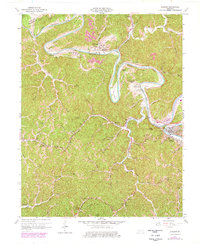
Historical Maps of Elkatawa Through Time
3 maps found
Featured Locations
Source Details
SourceU.S. Geological Survey
CopyrightPublic Domain