2022 Map of Jamestown
USGS Topo · Published 2022About this map
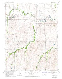
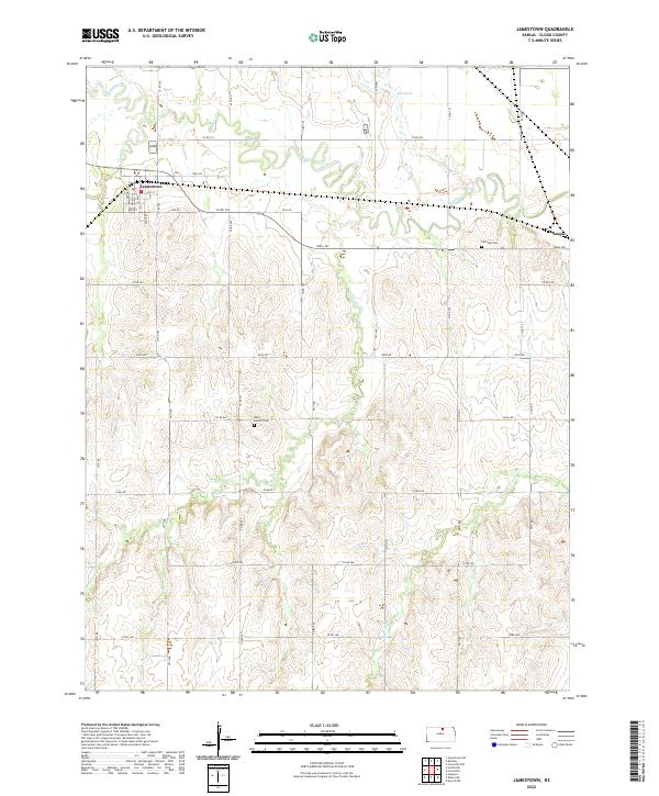
Jamestown serves as the primary hub in this portion of Cloud County, situated at the intersection of several local routes like Teal Rd and Co Rd 765. The town's grid is clearly defined by streets such as Walnut St and Elm St, reflecting a classic prairie settlement pattern centered on regional connectivity. Beyond the town limits, the landscape is defined by the winding course of Buffalo Creek and the expansive Salt Marsh to the northeast, which provides a distinct break in the surrounding agricultural section lines.
Find a feature on this map
47 named features on this map. Tap any name to fly to it.
Don’t see what you’re looking for? This feature index may not catch every label — zoom into the map to look around manually.
Map Details
Editions of this 2022 Jamestown Map
This is the sole edition of this map. No revisions or reprints were ever made.