Loading...
Loading map...2023 Map of Jarrettsville
USGS Topo · Published 2023About this map
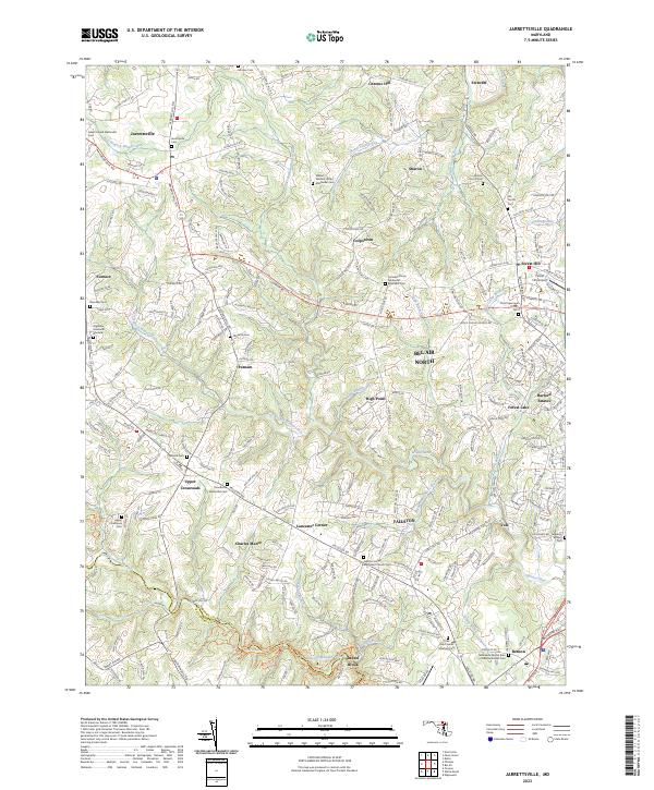
Jarrettsville and the surrounding Harford County landscape are defined by a complex network of waterways and historic crossroads. The drainage patterns of Little Gunpowder Falls and Winters Run carve through the terrain, supporting numerous small communities and farmsteads. This area is particularly rich in genealogical sites, featuring several denomination-specific landmarks such as the William Watters United Methodist Cem and the Fairview African Methodist Episcopal Cem.
Find a feature on this map
240 named features on this map. Tap any name to fly to it.
Don’t see what you’re looking for? This feature index may not catch every label — zoom into the map to look around manually.
Map Details
Date Portrayed2023
Date Published2023
PublisherU.S. Geological Survey
Map TypeTopographic
Scale1:24000
Physical Dimensions24 x 29 inches
Editions of this 2023 Jarrettsville Map
This is the sole edition of this map. No revisions or reprints were ever made.
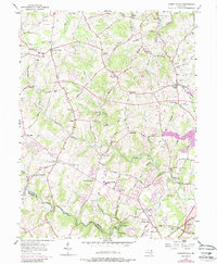
Historical Maps of Franklins Chance Through Time
Featured Locations
Source Details
SourceU.S. Geological Survey
CopyrightPublic Domain