Loading...
Loading map...2022 Map of Jenkins
USGS Topo · Published 2022About this map
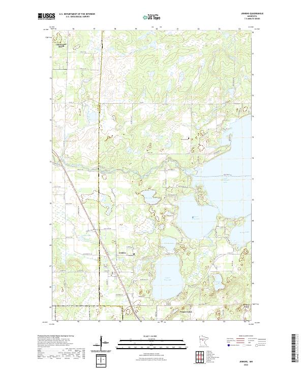
The Jenkins area and the border between Cass Co and Crow Wing Co are defined by a complex landscape of glacial lakes and river channels. The Pine River meanders across the central terrain, feeding into the expansive Upper Whitefish Lake to the east. This 2022 survey captures the modern integration of resort communities like Chickamaw Beach and Breezy Point with the natural topography of the Brainerd Lakes region.
Find a feature on this map
89 named features on this map. Tap any name to fly to it.
Don’t see what you’re looking for? This feature index may not catch every label — zoom into the map to look around manually.
Map Details
Date Portrayed2022
Date Published2022
PublisherU.S. Geological Survey
Map TypeTopographic
Scale1:24000
Physical Dimensions24 x 29 inches
Editions of this 2022 Jenkins Map
This is the sole edition of this map. No revisions or reprints were ever made.
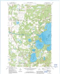
Historical Maps of Jenkins Through Time
Featured Locations
Source Details
SourceU.S. Geological Survey
CopyrightPublic Domain