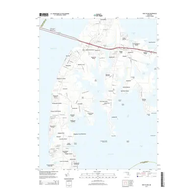
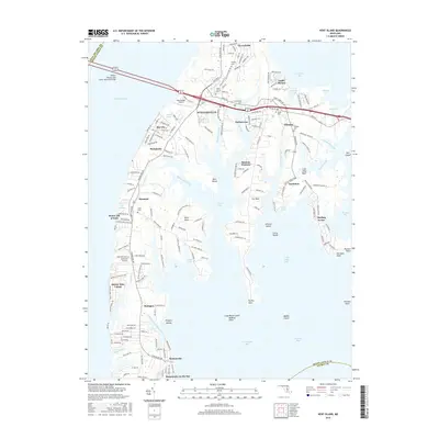
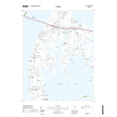
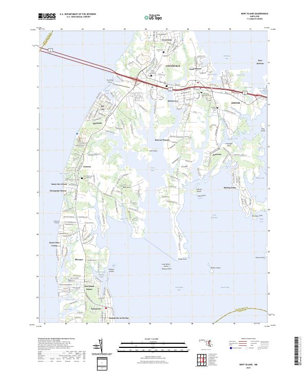
1942 Map of Kent Island
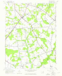
USGS Topo · Published 1973About this map
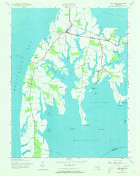
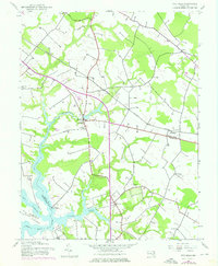
Kent Island is defined by its intricate network of tidal creeks and its role as a transportation hub for the Chesapeake Bay during the early 1940s. Centered on the hubs of Stevensville and Chester, the landscape reveals a maritime economy tied to both the water and the Baltimore and Eastern RR. Small inland settlements and landings like Dominion and Mattapex are linked by rural roads that trace the contours of Batts Neck and Cox Creek. The infrastructure of the era is remarkably visible, featuring the Annapolis Ferry and Claiborne Ferry routes before the completion of modern bridge spans. Local social centers are anchored by landmarks such as Wesley Ch, Kingsley Ch, and the Batts Neck Sch, providing a clear view of the island's community structure before mid-century development transformed the Eastern Shore.
Find a feature on this map
49 named features on this map. Tap any name to fly to it.
Don’t see what you’re looking for? This feature index may not catch every label — zoom into the map to look around manually.
Map Details
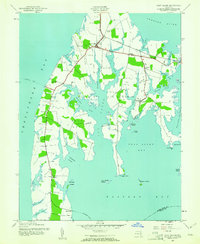
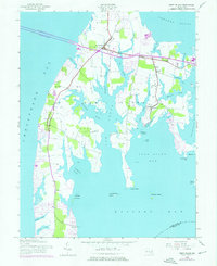
Editions of this 1942 Kent Island Map
3 editions found
Historical Maps of Stevensville Through Time
28 maps found
1942 Kent Island
Queen Anne's County, MD
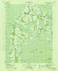
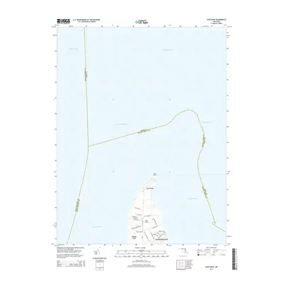
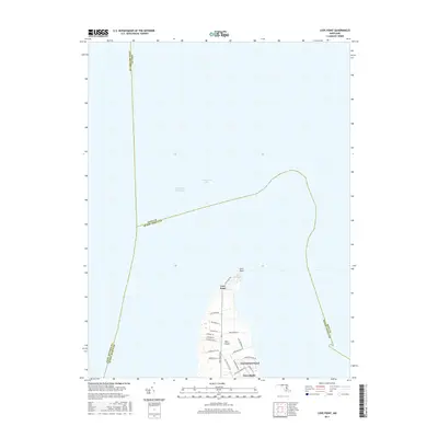
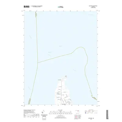
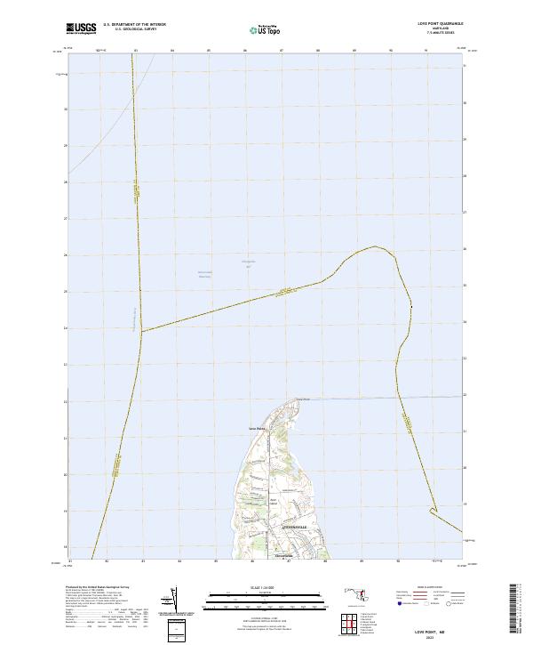
1942 Love Point
Queen Anne's County, MD
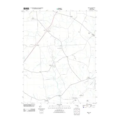
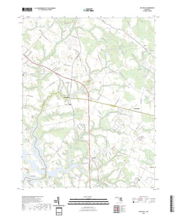
1942 Wye Mills
Queen Anne's County, MD
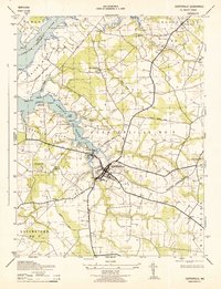
1943 Centerville
Queen Anne's County, MD
1943 Kent Island
Queen Anne's County, MD
1943 Wye Mills
Queen Anne's County, MD
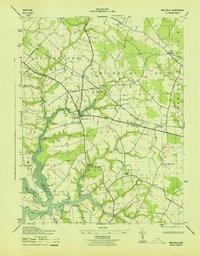
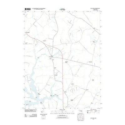
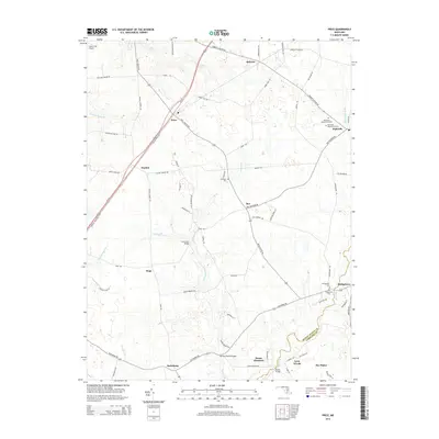
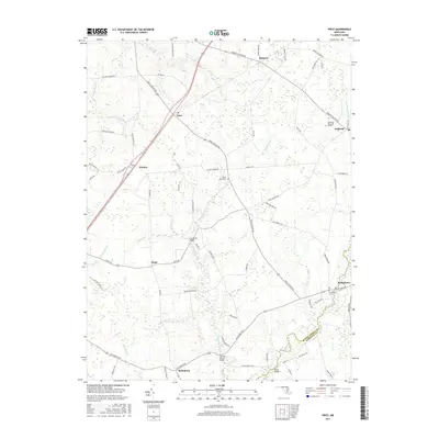
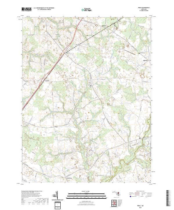
1944 Price
Queen Anne's County, MD
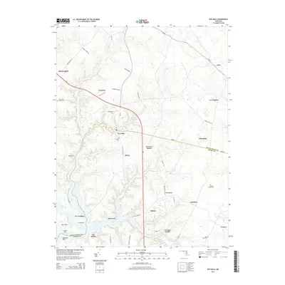
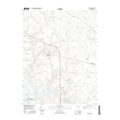
1953 Love Point
Queen Anne's County, MD
2011 Kent Island
Queen Anne's County, MD
2011 Love Point
Queen Anne's County, MD
2011 Price
Queen Anne's County, MD
2011 Wye Mills
Queen Anne's County, MD
2014 Kent Island
Queen Anne's County, MD
2014 Love Point
Queen Anne's County, MD
2014 Price
Queen Anne's County, MD
2014 Wye Mills
Queen Anne's County, MD
2016 Kent Island
Queen Anne's County, MD
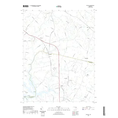
2016 Wye Mills
Queen Anne's County, MD
2017 Love Point
Queen Anne's County, MD
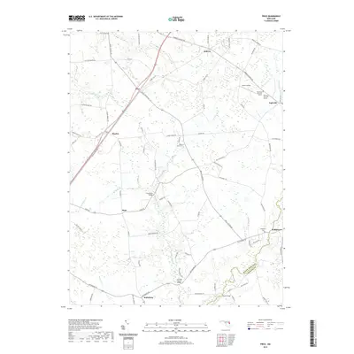
2017 Price
Queen Anne's County, MD
2019 Kent Island
Queen Anne's County, MD
2019 Love Point
Queen Anne's County, MD
2019 Price
Queen Anne's County, MD
2019 Wye Mills
Queen Anne's County, MD
2023 Kent Island
Queen Anne's County, MD
2023 Love Point
Queen Anne's County, MD
2023 Price
Queen Anne's County, MD
2023 Wye Mills
Queen Anne's County, MD