Loading...
Loading map...2024 Map of Kershaw
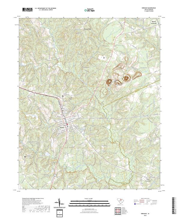
USGS Topo · Published 2024About this map
Kershaw serves as the central hub of this South Carolina landscape, straddling the border of Lancaster and Kershaw counties. The town's grid of streets is surrounded by a network of rural crossroads and waterways, most notably the Little Lynches River which winds through the eastern half of the quadrangle. Significant industrial and spiritual landmarks are prominent, including the large Haile Gold Mine operation and its namesake Haile Gold Mine Creek.
Find a feature on this map
132 named features on this map. Tap any name to fly to it.
Don’t see what you’re looking for? This feature index may not catch every label — zoom into the map to look around manually.
Map Details
Date Portrayed2024
Date Published2024
PublisherU.S. Geological Survey
Map TypeTopographic
Scale1:24000
Physical Dimensions24 x 29 inches
Editions of this 2024 Kershaw Map
This is the sole edition of this map. No revisions or reprints were ever made.
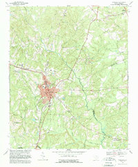
Historical Maps of Midway Through Time
Featured Locations
Source Details
SourceU.S. Geological Survey
CopyrightPublic Domain