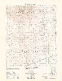
1964 Map of Kingston Peak
USGS Topo · Published 1964About this map
Kingston Range dominates this mid-century topographic study, a landscape defined by the search for mineral wealth and the critical location of water in the high desert. Industrial efforts are scattered throughout the arid terrain, represented by the Eastern Star Mine and the Shadow Mtn Mine, alongside various unnamed shafts and prospects. These sites suggest a legacy of small-scale prospecting and extraction typical of the region's mining history. The importance of reliable water sources for survival and industry is evident in the marking of Kingston Spring, Shadow Mountain Spring, and the curiously named Coyote Holes. Below the granite heights of Kingston Peak, the wide desert floor of Valjean Valley and the course of Kingston Wash illustrate the natural drainage patterns of this San Bernardino County wilderness.
Find a feature on this map
16 named features on this map. Tap any name to fly to it.
Don’t see what you’re looking for? This feature index may not catch every label — zoom into the map to look around manually.
Map Details
Editions of this 1964 Kingston Peak Map
This is the sole edition of this map. No revisions or reprints were ever made.
Other maps of this area

1910 · Ivanpah
USGS Topo · 1:250,000

1912 · Ivanpah
USGS Topo · 1:250,000

1933 · Avawatz Mountains
USGS Topo · 1:250,000

1942 · Ivanpah
USGS Topo · 1:250,000

1947 · Trona
USGS Topo · 1:250,000

1947 · Kingman
USGS Topo · 1:250,000

1948 · Kingman
USGS Topo · 1:250,000

1948 · Trona
USGS Topo · 1:250,000

1950 · Tecopa
USGS Topo · 1:62,500

1951 · Tecopa
USGS Topo · 1:62,500