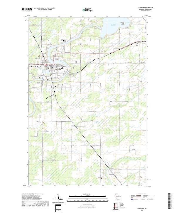
2022 Map of Ladysmith
USGS Topo · Published 2022About this map
The Flambeau River carves a sharp oxbow through the heart of Ladysmith, serving as the central geographic feature for this Rusk County seat. The town's grid is anchored by the Rusk County Court House and extends south toward Old Ladysmith Cem and north toward the Riverside Cem. The surrounding landscape is defined by its transition from industrial town centers to the expansive wetlands and minor tributaries like Deer Tail Cr and Main Creek that feed into the larger river system.
Find a feature on this map
73 named features on this map. Tap any name to fly to it.
Don’t see what you’re looking for? This feature index may not catch every label — zoom into the map to look around manually.
Map Details
Editions of this 2022 Ladysmith Map
This is the sole edition of this map. No revisions or reprints were ever made.
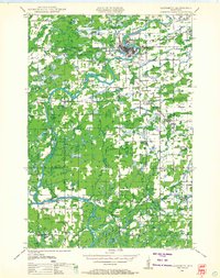
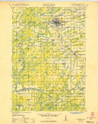
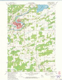
Historical Maps of Dewey Through Time
4 maps found