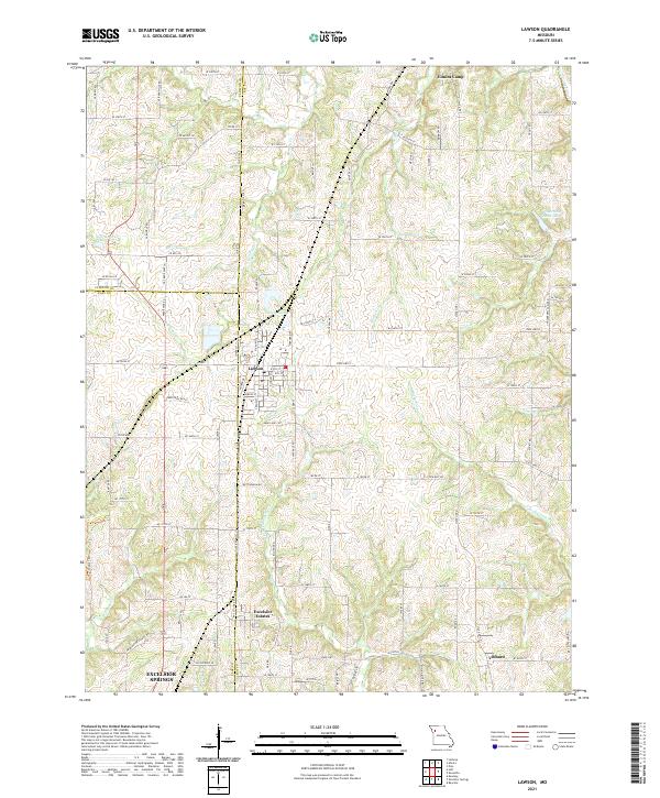
2021 Map of Lawson
USGS Topo · Published 2021About this map
Lawson serves as the central hub of this Missouri landscape, where the boundaries of Clinton, Clay, and Ray counties converge. The terrain is defined by a dense network of tributaries, including Brushy Cr, Burnt Fork, and the S Fork Fishing River, which carve through the countryside toward the northern edge of Excelsior Springs. Small residential pockets and recreational sites like Elmira Camp, Excelsior Estates, and the quiet crossroads of Vibbard are connected by a grid of rural routes such as State Hwy C and Tri Co Line Rd. Genealogists and local historians can trace the development of these small communities and land divisions in the early 21st century. The map also highlights local water features like Lawson Lake and Wilderness Camp Lake, illustrating how the hydrology of the Fishing River basin shapes the area's modern settlement patterns.
Find a feature on this map
114 named features on this map. Tap any name to fly to it.
Don’t see what you’re looking for? This feature index may not catch every label — zoom into the map to look around manually.
Map Details
Editions of this 2021 Lawson Map
This is the sole edition of this map. No revisions or reprints were ever made.
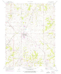
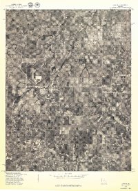
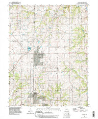
Historical Maps of Excelsior Springs Through Time
4 maps found