Loading...
Loading map...2023 Map of Leland
USGS Topo · Published 2023About this map
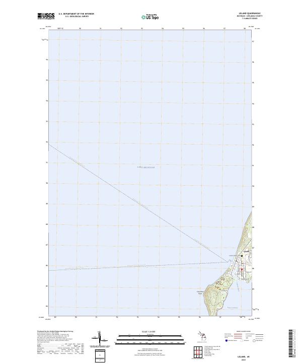
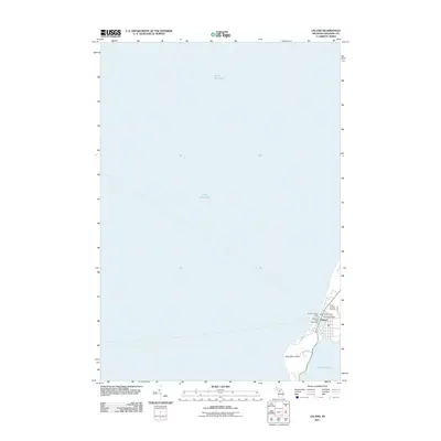
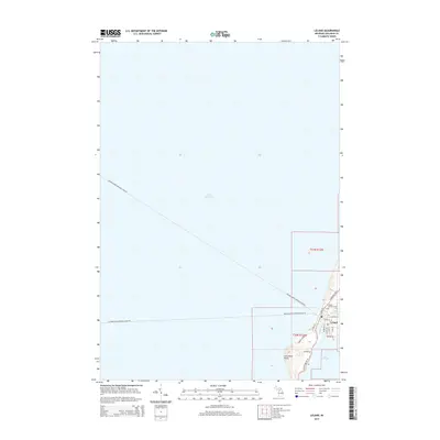
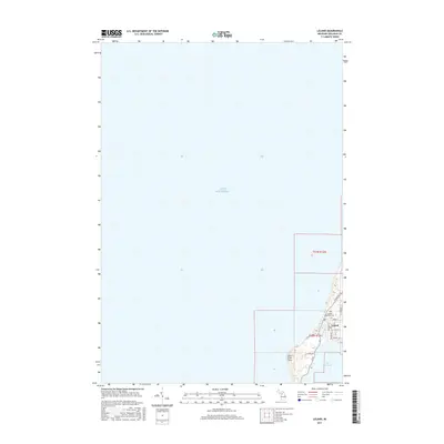
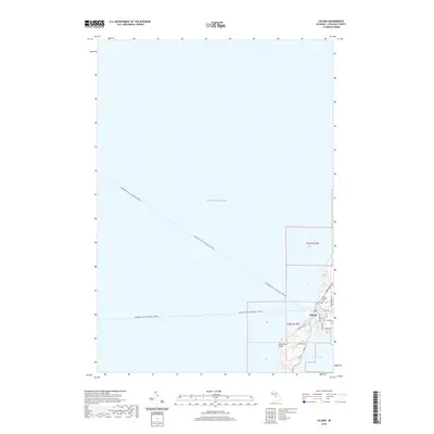
Lake Michigan dominates the western horizon of this coastal Leelanau County landscape, where the seasonal Passenger Ferry (Seasonal) Trl routes depart toward the Manitous. The settlement of Leland is situated at the critical narrow strip between the big lake and the northern end of Lake Leelanau, connected by the short Leland River. This geography has long defined the local economy, from historical fishing and maritime trade to modern tourism.
Find a feature on this map
29 named features on this map. Tap any name to fly to it.
Don’t see what you’re looking for? This feature index may not catch every label — zoom into the map to look around manually.
Map Details
Date Portrayed2023
Date Published2023
PublisherU.S. Geological Survey
Map TypeTopographic
Scale1:24,000
Physical Dimensions24 x 29 inches
Editions of this 2023 Leland Map
This is the sole edition of this map. No revisions or reprints were ever made.
Historical Maps of Leland Through Time
6 maps found
Featured Locations
Source Details
SourceU.S. Geological Survey
CopyrightPublic Domain