Loading...
Loading map...2024 Map of Lenox
USGS Topo · Published 2024About this map
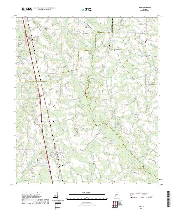
Lenox and the nearby community of Staunton anchor this South Georgia landscape where Tift, Berrien, and Cook counties converge. The topography is defined by a dense network of slow-moving waterways, including the New River and its numerous tributaries such as Brushy Creek and Reedy Creek. These hydrologic patterns have historically dictated the placement of agricultural boundaries and transport corridors.
Find a feature on this map
116 named features on this map. Tap any name to fly to it.
Don’t see what you’re looking for? This feature index may not catch every label — zoom into the map to look around manually.
Map Details
Date Portrayed2024
Date Published2024
PublisherU.S. Geological Survey
Map TypeTopographic
Scale1:24000
Physical Dimensions24 x 29 inches
Editions of this 2024 Lenox Map
This is the sole edition of this map. No revisions or reprints were ever made.
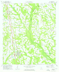
Historical Maps of Eldorado Through Time
Featured Locations
Source Details
SourceU.S. Geological Survey
CopyrightPublic Domain