
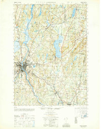
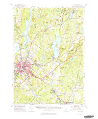
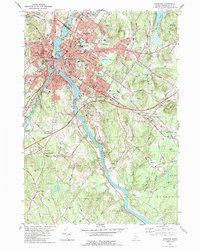
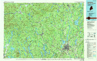
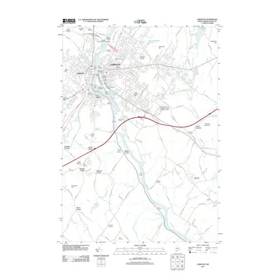
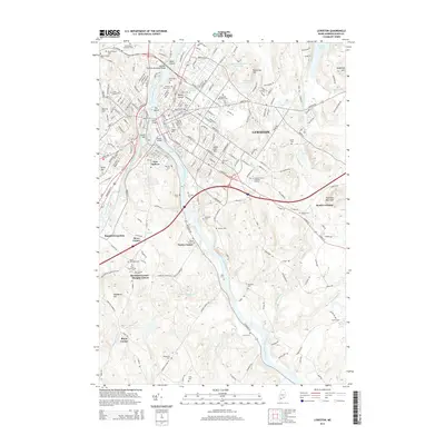
1969 Map of Lewiston
USGS Topo · Published 1969About this map
The White Mountain National Forest dominates this mid-century landscape, anchoring a region defined by high peaks and an intricate network of logging and transport corridors. The towering height of Mt Washington 6288 serves as a central landmark for the northern White Mountains, while major water bodies like Umbagog Lake and Rangeley Lake define the northern New England wilderness. Industrial hubs such as Lewiston, Auburn, and Berlin are linked by the vital Androscoggin River and a robust rail system including the Grand Trunk RR and Maine Central RR. This period shows the transition of the region from a purely resource-driven economy to one increasingly shaped by conservation and recreation, evidenced by numerous state-managed lands like Franconia Notch State Reservation. Smaller settlements like Colebrook and Errol mark the upper reaches of the Connecticut River, maintaining their roles as essential crossroads for local commerce and mountain travel.
Find a feature on this map
70 named features on this map. Tap any name to fly to it.
Don’t see what you’re looking for? This feature index may not catch every label — zoom into the map to look around manually.
Map Details
Editions of this 1969 Lewiston Map
This is the sole edition of this map. No revisions or reprints were ever made.
Historical Maps of Lewiston Through Time
16 maps found
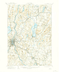
1908 Lewiston
Androscoggin County, ME
1942 Lewiston
Androscoggin County, ME
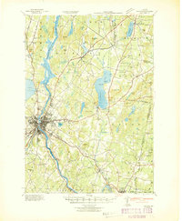
1950 Lewiston
Androscoggin County, ME
1950 Lewiston
Androscoggin County, ME

1956 Lewiston
Androscoggin County, ME
1956 Lewiston
Androscoggin County, ME

1961 Lewiston
Androscoggin County, ME

1962 Lewiston
Androscoggin County, ME
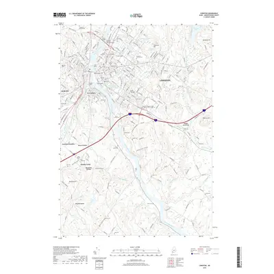
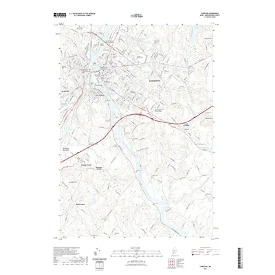
1969 Lewiston
Androscoggin County, ME
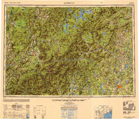
1979 Lewiston
Androscoggin County, ME
1986 Lewiston
Androscoggin County, ME
2011 Lewiston
Androscoggin County, ME
2014 Lewiston
Androscoggin County, ME
2018 Lewiston
Androscoggin County, ME
2021 Lewiston
Androscoggin County, ME
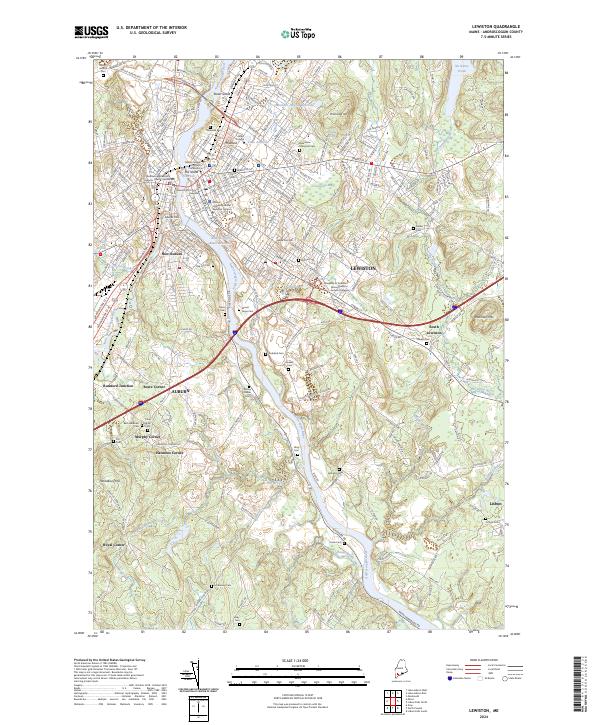
2024 Lewiston
Androscoggin County, ME