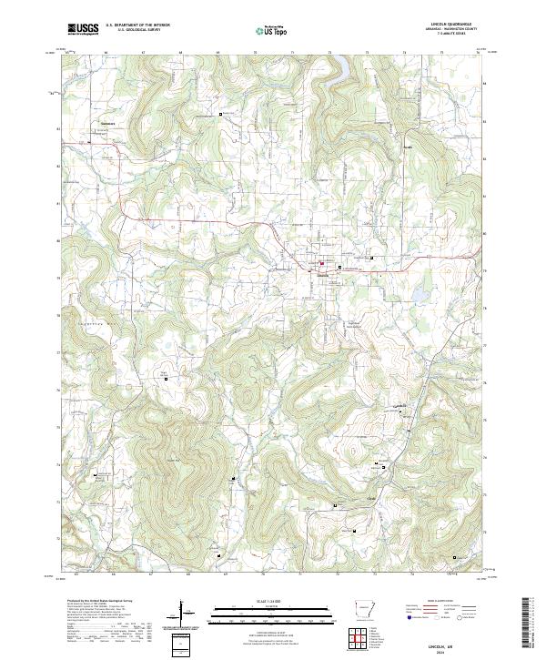
2024 Map of Lincoln
USGS Topo · Published 2024About this map
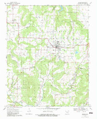
Lincoln serves as the central hub of this Washington County landscape, where the street grid meets the surrounding rural terrain of the Ozarks. The area is defined by a high density of small family and community burial grounds, which offer significant data for genealogical research. Notable sites include Sugar Hill Cem, Cane Hill Cem, and the Mcclellan Cem near Canehill. These landmarks, along with smaller plots like Beatty Cem and Yates Cem, trace the deep-rooted settlement patterns of this region.
Find a feature on this map
125 named features on this map. Tap any name to fly to it.
Don’t see what you’re looking for? This feature index may not catch every label — zoom into the map to look around manually.
Map Details
Editions of this 2024 Lincoln Map
This is the sole edition of this map. No revisions or reprints were ever made.