Loading...
Loading map...2023 Map of Longbranch
USGS Topo · Published 2023About this map
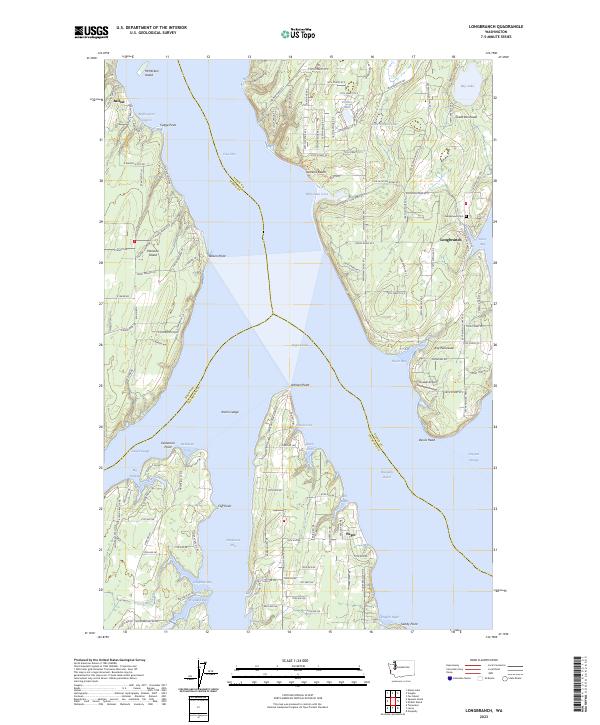
The complex shoreline of South Puget Sound dominates this 2023 survey, centered on the Key Peninsula and the community of Longbranch. The maritime geography is defined by deep inlets and reaches, where the Case Inlet separates the mainland from Harstine Island and McMicken Island. To the east, Filucy Bay provides a sheltered harbor near the historic Longbranch Cem, while the southern tip of the peninsula terminates at Devils Head.
Find a feature on this map
138 named features on this map. Tap any name to fly to it.
Don’t see what you’re looking for? This feature index may not catch every label — zoom into the map to look around manually.
Map Details
Date Portrayed2023
Date Published2023
PublisherU.S. Geological Survey
Map TypeTopographic
Scale1:24000
Physical Dimensions24 x 29 inches
Editions of this 2023 Longbranch Map
This is the sole edition of this map. No revisions or reprints were ever made.
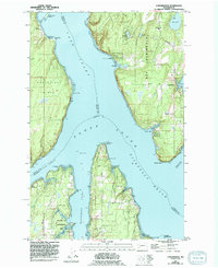
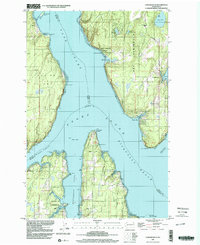
Historical Maps of Puget Through Time
3 maps found
Featured Locations
Source Details
SourceU.S. Geological Survey
CopyrightPublic Domain