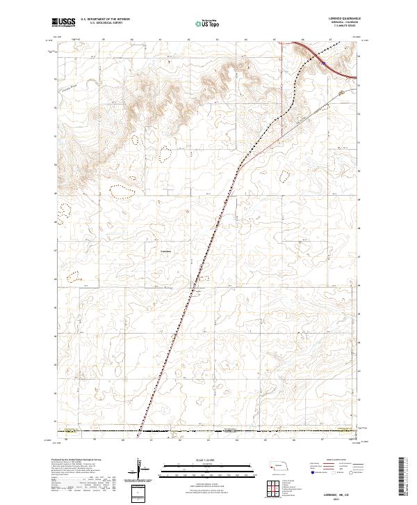
2021 Map of Lorenzo
USGS Topo · Published 2021About this map
The high plains of Cheyenne County meet the Colorado border in this 2021 survey. The landscape is dominated by the small community of Lorenzo, situated along a grid of section roads and the modern highway corridor. This area, just north of the Nebraska-Colorado line, preserves remnants of older transit routes including the Old Post Rd, which cuts diagonally across the plateau. Natural drainage is defined by the ephemeral courses of Sidney Draw and Cow Cr, which carve subtle depressions through the agricultural acreage and cattle range that characterize this border region. The map provides a clear record of modern land divisions and the persistent geographic importance of these high plains drainage systems.
Find a feature on this map
20 named features on this map. Tap any name to fly to it.
Don’t see what you’re looking for? This feature index may not catch every label — zoom into the map to look around manually.
Map Details
Editions of this 2021 Lorenzo Map
This is the sole edition of this map. No revisions or reprints were ever made.
