
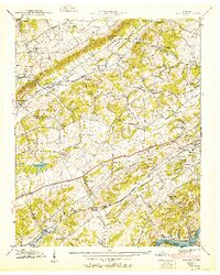
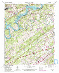
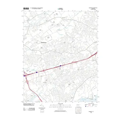
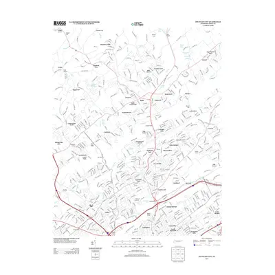
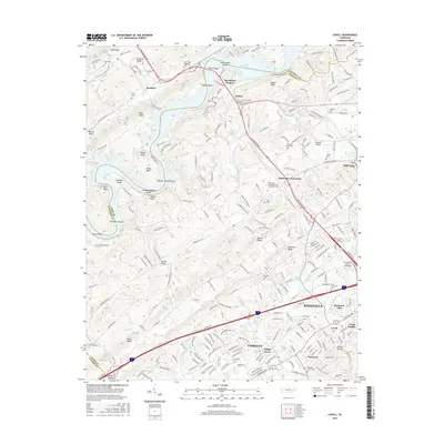
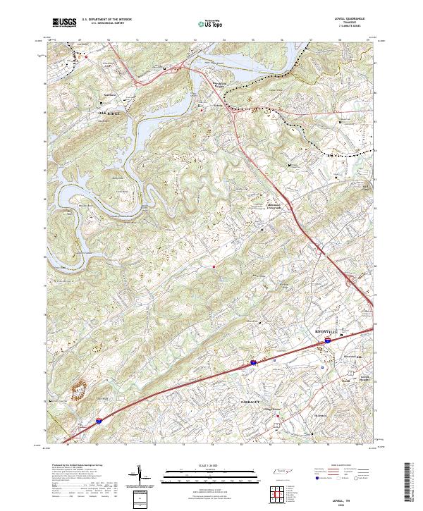
1935 Map of Lovell
USGS Topo · Published 1935About this map
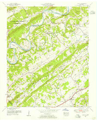
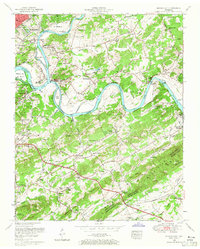
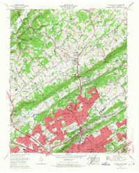
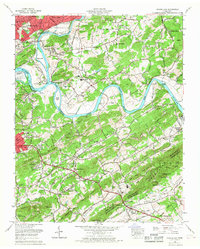
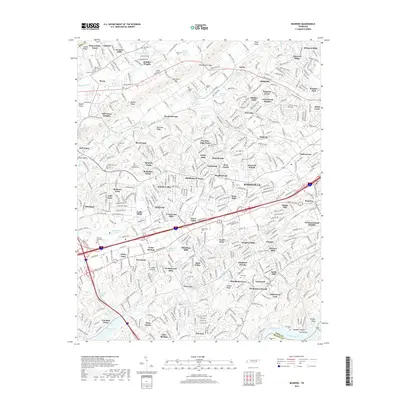
Clinch River meanders through the heart of this landscape, its banks defined by historical crossing points like Gallaher Ferry and Couch Ford. The Tennessee Valley Authority, under the direction of Arthur E. Morgan, documented this area in the mid-1930s, capturing a network of ridges—including Copper Ridge and Beaver Ridge—that separate fertile valleys. The settlement pattern is largely rural and centered on community institutions like Grigsby Chapel, Marietta Ch Cem, and Harden Valley Sch. The presence of the Louisville and Nashville RR in the northern portion and the Tennessee Electric Power Co Nos 11 and 70 Transmission Line in the south illustrates the infrastructure supporting the region during this era. Unique landmarks such as Grand Caverns and various family-named schools and churches provide specific points of interest for those tracing local history.
Find a feature on this map
50 named features on this map. Tap any name to fly to it.
Don’t see what you’re looking for? This feature index may not catch every label — zoom into the map to look around manually.
Map Details
Editions of this 1935 Lovell Map
This is the sole edition of this map. No revisions or reprints were ever made.
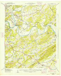
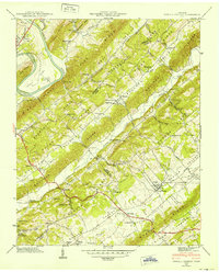
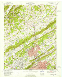
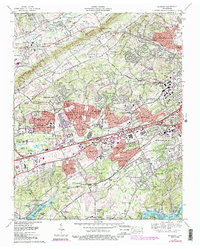
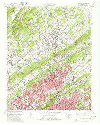
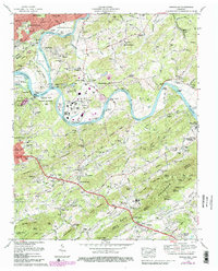
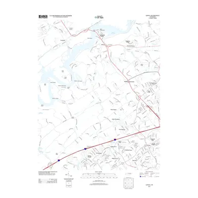
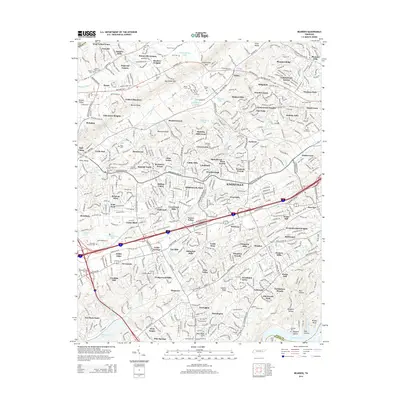
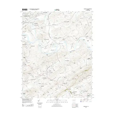
Historical Maps of Knoxville Through Time
44 maps found

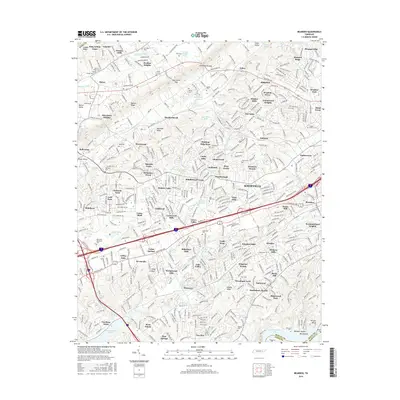
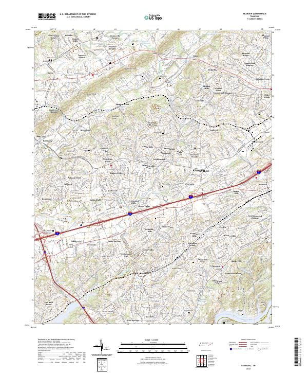
1935 Bearden
Knox County, TN

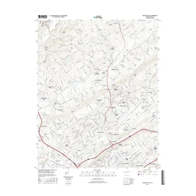
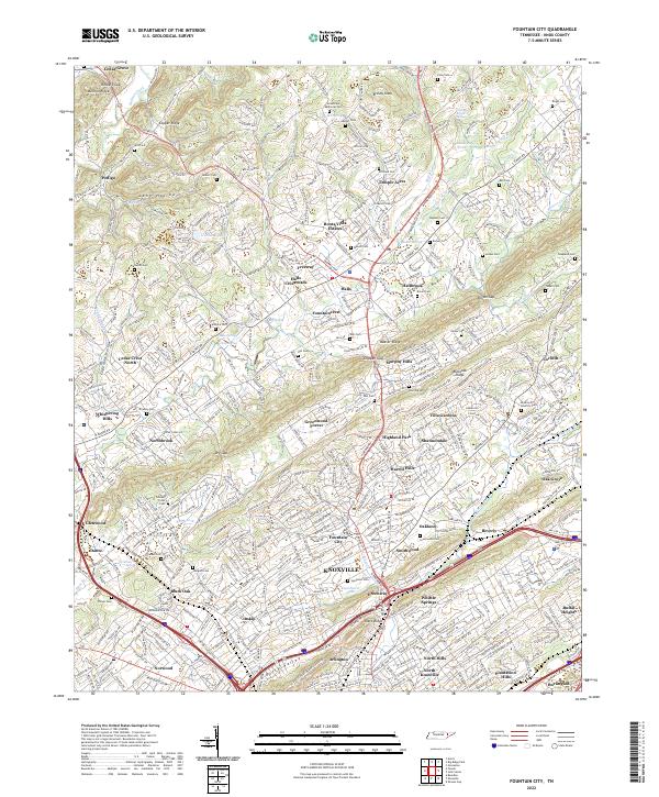
1935 Fountain City
Knox County, TN
1935 Lovell
Knox County, TN

1936 Friendship
Knox County, TN

1936 Gorryton
Knox County, TN

1936 Powell Station
Knox County, TN

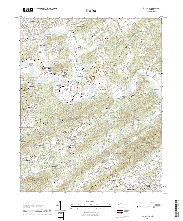
1936 Shooks Gap
Knox County, TN
1940 Bearden
Knox County, TN

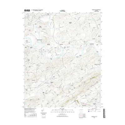
1940 Lovell
Knox County, TN
1940 Shooks Gap
Knox County, TN

1941 Fountain City
Knox County, TN

1941 Lovell
Knox County, TN
1941 Powell Station
Knox County, TN

1953 Bearden
Knox County, TN
1953 Fountain City
Knox County, TN
1953 Lovell
Knox County, TN
1953 Shooks Gap
Knox County, TN

1966 Bearden
Knox County, TN
1966 Fountain City
Knox County, TN
1966 Shooks Gap
Knox County, TN
1968 Lovell
Knox County, TN
1978 Bearden
Knox County, TN
1978 Fountain City
Knox County, TN
1979 Shooks Gap
Knox County, TN
2010 Bearden
Knox County, TN
2010 Fountain City
Knox County, TN
2010 Lovell
Knox County, TN
2010 Shooks Gap
Knox County, TN
2013 Fountain City
Knox County, TN
2013 Lovell
Knox County, TN
2014 Bearden
Knox County, TN
2014 Shooks Gap
Knox County, TN
2016 Bearden
Knox County, TN
2016 Fountain City
Knox County, TN
2016 Lovell
Knox County, TN
2016 Shooks Gap
Knox County, TN
2019 Bearden
Knox County, TN
2019 Fountain City
Knox County, TN
2019 Lovell
Knox County, TN
2019 Shooks Gap
Knox County, TN
2022 Bearden
Knox County, TN
2022 Fountain City
Knox County, TN
2022 Lovell
Knox County, TN
2022 Shooks Gap
Knox County, TN