2022 Map of Manzanola
USGS Topo · Published 2022About this map
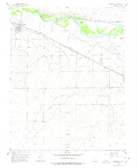
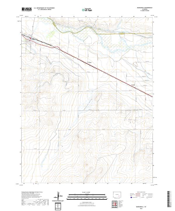
Manzanola sits at the western edge of this agricultural landscape in the Arkansas River valley, where complex water management defines the local geography. The map reveals an intricate network of irrigation systems required for High Plains farming, including the Catlin Canal, Lake Canal, and Fort Lyon Storage Canal which parallel the Arkansas River. These man-made waterways emphasize the region's reliance on water rights and engineering to sustain the settlements of Vroman and Fayette. To the south, the terrain descends into Patterson Hollow, while the Rocky Ford Highline Canal traces the higher contours of the prairie. This survey provides a contemporary look at the rural road grid and the persistent infrastructure that has supported Otero County agriculture for over a century, showing how the original land divisions still shape the modern valley floor.
Find a feature on this map
52 named features on this map. Tap any name to fly to it.
Don’t see what you’re looking for? This feature index may not catch every label — zoom into the map to look around manually.
Map Details
Editions of this 2022 Manzanola Map
This is the sole edition of this map. No revisions or reprints were ever made.