2022 Map of Mayetta
USGS Topo · Published 2022About this map
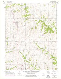
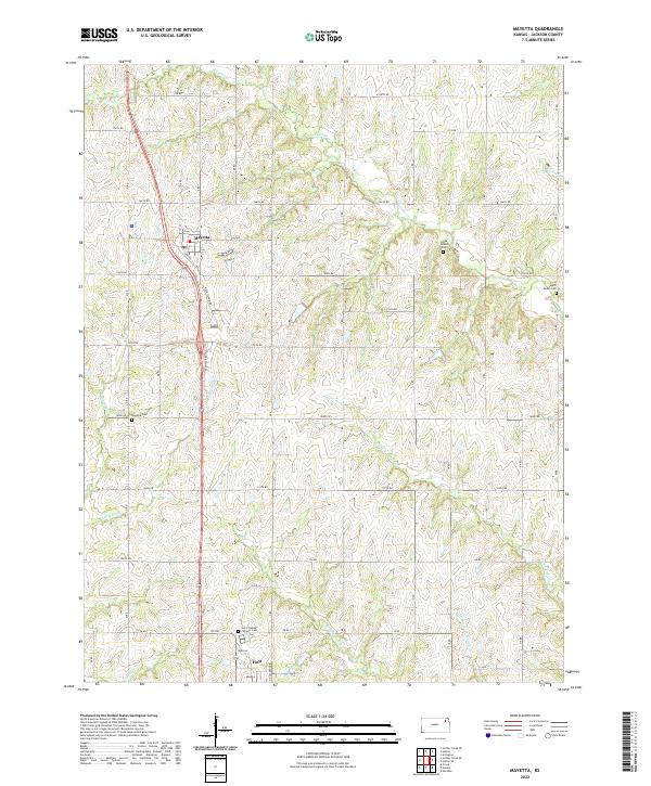
Mayetta and Hoyt anchor this section of Jackson County, showcasing a landscape defined by its rural grid and the headwaters of several regional creeks. The terrain is deeply carved by watercourses including Big Elm Cr and Little Elm Cr to the west, while the eastern portion is shaped by the divergent branches of the Muddy Creek system, including Middle Fork Muddy Cr and E Fork Muddy Cr. Transportation is dominated by the north-south corridor that follows the path of Rock Island Rd, reflecting long-standing rail and road alignments in the region.
Find a feature on this map
37 named features on this map. Tap any name to fly to it.
Don’t see what you’re looking for? This feature index may not catch every label — zoom into the map to look around manually.
Map Details
Editions of this 2022 Mayetta Map
This is the sole edition of this map. No revisions or reprints were ever made.