2024 Map of McAlmont
USGS Topo · Published 2024About this map
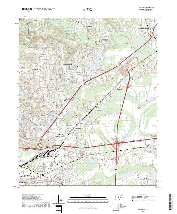
McAlmont and the surrounding Arkansas communities sit at a busy junction of rail and road infrastructure northeast of North Little Rock. The landscape is a mix of established residential neighborhoods and industrial corridors, with the Bayou Meto basin and Ink Bayou providing natural drainage through the eastern lowlands. Several historic burying grounds, including Lea Cem and Meacham Cem, are preserved within the developing landscape, offering fixed points for genealogical research. To the north, the terrain rises toward Gravel Ridge and Red Hill, while the western edge is defined by the expansive NG Camp Joseph T Robinson military installation. Transport patterns are dominated by the US Hwy 67 Access Rd and the Jacksonville Blvd corridor, which connect the smaller settlements of Booker and Rixey to the larger centers of Sherwood and Jacksonville.
Find a feature on this map
91 named features on this map. Tap any name to fly to it.
Don’t see what you’re looking for? This feature index may not catch every label — zoom into the map to look around manually.
Map Details
Editions of this 2024 McAlmont Map
This is the sole edition of this map. No revisions or reprints were ever made.
Historical Maps of Jacksonville Through Time
1 maps found