2024 Map of McCalla
USGS Topo · Published 2024About this map
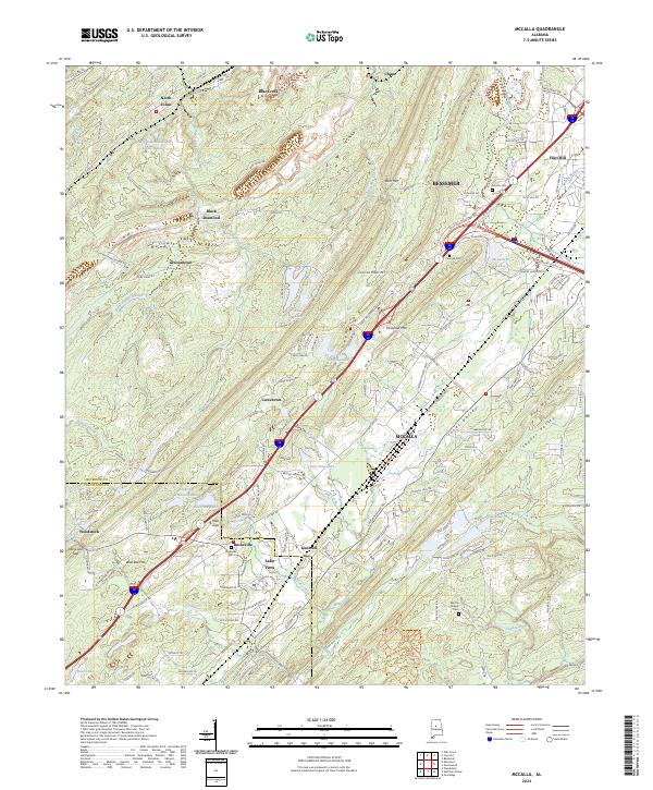
Jones Valley and Shades Valley converge in this Jefferson County landscape, where the long industrial heritage of the Birmingham district is evident in the infrastructure surrounding North Johns. The presence of the Slurry Impoundment Johns Washer and roads like Black Diamond Mine Rd point to the area's history of resource extraction. Settlements like Lawsontown, Lowetown, and Bucksville are linked by a dense network of transit corridors, including the Eastern Valley Rd, which follows the natural alignment of the terrain between Rock Mtn and Red Mountain.
Find a feature on this map
142 named features on this map. Tap any name to fly to it.
Don’t see what you’re looking for? This feature index may not catch every label — zoom into the map to look around manually.
Map Details
Editions of this 2024 McCalla Map
This is the sole edition of this map. No revisions or reprints were ever made.
Historical Maps of Kimbrell Through Time
1 maps found