2024 Map of McColl
USGS Topo · Published 2024About this map
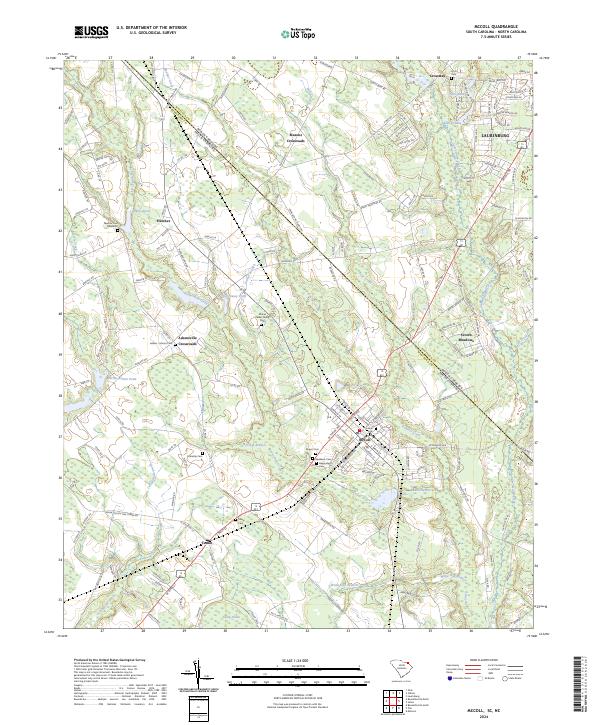
McColl and its surrounding textile and agricultural lands sit at a distinctive geographic junction where the North Carolina South Carolina border meets the Scotland Co Marlboro Co line. The landscape is a network of slow-moving water systems including Gum Swamp Creek and Cottingham Creek, which historically supported the region's development. Family legacy is clearly preserved through numerous small burial grounds such as the Moses Parker Family Cem and the Adams - Moore Cem in Adamsville Crossroads. These sites, along with larger repositories like Roselawn Cem, offer significant data for genealogical research. The transition from the rural crossroads at Masons Crossroads to the residential outskirts of Laurinburg reflects the modern intersection of small-town life and the expanding suburban influence of the Sandhills region.
Find a feature on this map
159 named features on this map. Tap any name to fly to it.
Don’t see what you’re looking for? This feature index may not catch every label — zoom into the map to look around manually.
Map Details
Editions of this 2024 McColl Map
This is the sole edition of this map. No revisions or reprints were ever made.
Historical Maps of Idlewood Through Time
1 maps found