2022 Map of McDonald
USGS Topo · Published 2022About this map
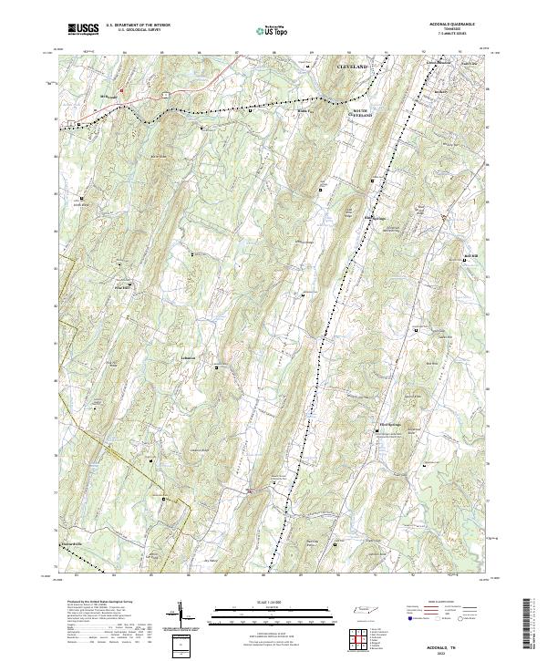
Lead Mine Ridge and the Tennessee Valley Divide anchor this Bradley County landscape, where the ridges and valleys of southeast Tennessee dictate the settlement patterns. This modern survey illustrates the enduring rural character of the area south of Cleveland, dominated by parallel ridges like Pine Hill Ridge and Lebanon Ridge. The map is particularly valuable for genealogical research, documenting numerous family and community burial grounds including Hambright Cem, Loftis Cem, and the Antioch Baptist Church Cem.
Find a feature on this map
199 named features on this map. Tap any name to fly to it.
Don’t see what you’re looking for? This feature index may not catch every label — zoom into the map to look around manually.
Map Details
Editions of this 2022 McDonald Map
This is the sole edition of this map. No revisions or reprints were ever made.
Historical Maps of Black Fox Through Time
1 maps found