Loading...
Loading map...2024 Map of McDougal
USGS Topo · Published 2024About this map
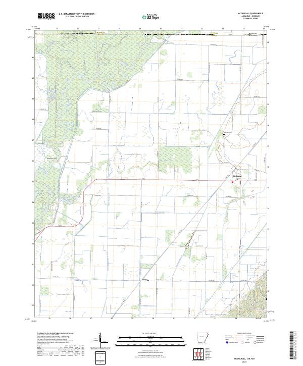
The Black River meanders across the northwestern corner of this Clay County landscape, where the flat alluvial plains of the Mississippi Embayment meet the rising elevation of Crowleys Ridge in the southeast. This intersection of terrain is defined by an extensive drainage network, including Cane Creek Ditch, Ditch Number 17, and Ditch Number 19, reflecting a long history of water management to support the region's agricultural productivity.
Find a feature on this map
58 named features on this map. Tap any name to fly to it.
Don’t see what you’re looking for? This feature index may not catch every label — zoom into the map to look around manually.
Map Details
Date Portrayed2024
Date Published2024
PublisherU.S. Geological Survey
Map TypeTopographic
Scale1:24000
Physical Dimensions24 x 29 inches
Editions of this 2024 McDougal Map
This is the sole edition of this map. No revisions or reprints were ever made.
Historical Maps of McDougal Through Time
1 maps found
Featured Locations
Source Details
SourceU.S. Geological Survey
CopyrightPublic Domain