Loading...
Loading map...2022 Map of McDowell
USGS Topo · Published 2022About this map
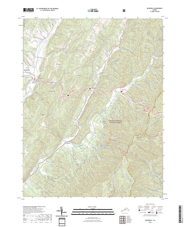
McDowell sits at the junction of the Bullpasture River and the Highland Tpke, serving as a central point for the surrounding highlands. The topography is defined by parallel ridges and deep hollows, such as Opossum Hollow and Wolfe Draft, which dictate the paths of early travel and settlement. The landscape is a mix of small mountain communities and the expansive George Washington National Forest, where features like Signal Corps Knob and Brushy Ridge dominate the horizon.
Find a feature on this map
82 named features on this map. Tap any name to fly to it.
Don’t see what you’re looking for? This feature index may not catch every label — zoom into the map to look around manually.
Map Details
Date Portrayed2022
Date Published2022
PublisherU.S. Geological Survey
Map TypeTopographic
Scale1:24000
Physical Dimensions24 x 29 inches
Editions of this 2022 McDowell Map
This is the sole edition of this map. No revisions or reprints were ever made.
Historical Maps of McDowell Through Time
1 maps found
Featured Locations
Source Details
SourceU.S. Geological Survey
CopyrightPublic Domain