2022 Map of McKee
USGS Topo · Published 2022About this map
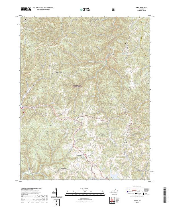
McKee serves as the focal point of this map, situated where several hollows and ridges converge in the heart of Jackson County. Much of the surrounding landscape is defined by the Daniel Boone National Forest, where the terrain is carved by the War Fork and the Middle Fork Elsom Fork. The human geography of the area is visible through scattered settlements like Gray Hawk and New Zion, connected by winding roads that often follow the crests of landforms such as Lime Kiln Ridge and Reece Ridge.
Find a feature on this map
81 named features on this map. Tap any name to fly to it.
Don’t see what you’re looking for? This feature index may not catch every label — zoom into the map to look around manually.
Map Details
Editions of this 2022 McKee Map
This is the sole edition of this map. No revisions or reprints were ever made.
Historical Maps of Bradshaw Through Time
1 maps found