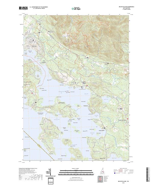
2024 Map of Melvin Village
USGS Topo · Published 2024About this map
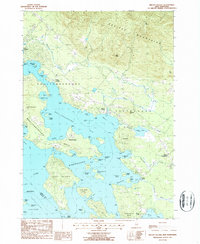
Melvin Village and its neighboring settlements on the northern shores of Lake Winnipesaukee define this landscape, where the dramatic slopes of the Ossipee Mountains meet the water. The map documents a complex shoreline of inlets like Melvin Bay and Ambrose Cove, populated by numerous named islands including Cow Island and Little Bear Island. Moving inland, the terrain rises sharply toward Bald Knob and Turtleback Mountain, with the Melvin River and Shannon Brook carving drainage paths from the high peaks of the Ossipee Mountains toward the lake. For local historians, the sheet is exceptionally detailed regarding small family and community burial grounds, recording sites such as Thompson - Moulton Cem, Shaw Cem, and Bodge Cem. The layout of modern developments like Suissevale contrasts with traditional hubs like Center Tuftonboro and the lakefront facilities at Union Wharf, showing how recreation and year-round residency have reshaped this Carroll County terrain.
Find a feature on this map
200 named features on this map. Tap any name to fly to it.
Don’t see what you’re looking for? This feature index may not catch every label — zoom into the map to look around manually.
Map Details
Editions of this 2024 Melvin Village Map
This is the sole edition of this map. No revisions or reprints were ever made.