2022 Map of Merrillan
USGS Topo · Published 2022About this map
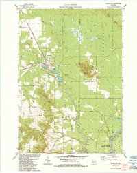
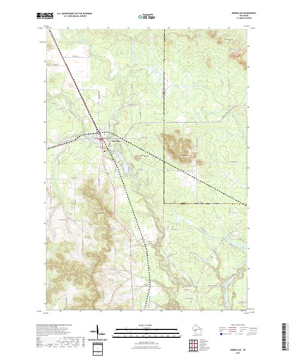
Merrillan sits as the central settlement on this modern survey, where the township boundaries of Jackson and Clark counties intersect. The landscape is defined by its distinct glacial topography, most notably the elevated formations of Trow Mounds, Bruce Mound, and Stanley Mound that rise above the surrounding wetlands and creek beds. Waterways dominate the drainage patterns of the area, including Halls Creek, Vismal Cr, and Wrightsville Cr, while Oakwood Lake provides a prominent point of interest adjacent to the village. Local history researchers will find the location of Oakwood Cem and the naming of rural routes like Castle Hill Rd and Garage Rd useful for identifying family sites and former properties. The eastern edge of the quadrangle follows the winding course of the Black River and the inlet of the Lower Backwater, showing the relationship between the elevated mounds and the low-lying river valley systems.
Find a feature on this map
80 named features on this map. Tap any name to fly to it.
Don’t see what you’re looking for? This feature index may not catch every label — zoom into the map to look around manually.
Map Details
Editions of this 2022 Merrillan Map
This is the sole edition of this map. No revisions or reprints were ever made.