2023 Map of Mexico
USGS Topo · Published 2023About this map
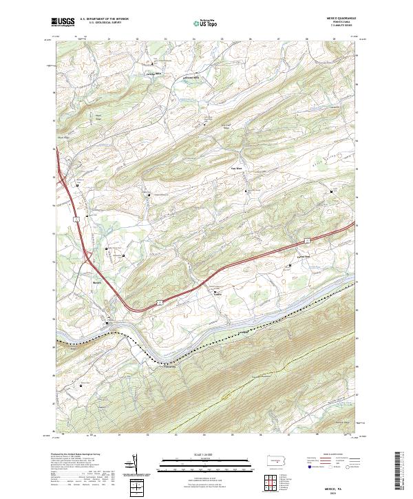
Tuscarora Mountain and Raccoon Ridge dominate the southern topography of this Juniata County landscape, where the Juniata River carves a deep valley through the ridges. The historical corridor of the Pennsylvania Canal remains a visible landmark along the river's northern bank, tracing the same path as the modern transportation network near Tuscarora. The area is characterized by a dense concentration of religious and family burial grounds, such as the Old Order Amish Cem, Lost Creek Mennonite Cem, and Rothrock Cem, reflecting a deep-rooted heritage of rural congregations. Small hamlets like Mexico and Van Wert are connected by a network of hollows and ridges, including Zendt Hollow Rd and Lost Creek Ridge. This modern survey documents the persistent rural character and the enduring geological features that have shaped the settlement patterns of Kurtz Valley and its surrounding communities.
Find a feature on this map
92 named features on this map. Tap any name to fly to it.
Don’t see what you’re looking for? This feature index may not catch every label — zoom into the map to look around manually.
Map Details
Editions of this 2023 Mexico Map
This is the sole edition of this map. No revisions or reprints were ever made.
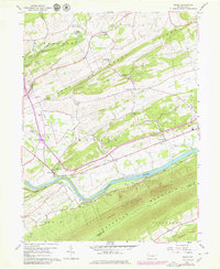
Historical Maps of Van Wert Through Time
Featured Locations
- Turbett Township, PA
- Walker Township, PA
- Delaware Township, PA
- Fayette Township, PA
- Tuscarora, Turbett Township