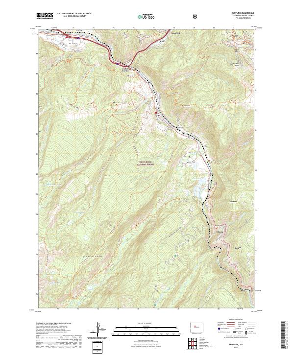
2022 Map of Minturn
USGS Topo · Published 2022About this map
Minturn and its surrounding mountain corridors are captured in this recent survey, showcasing the enduring relationship between high-altitude settlements and the steep valley of the Eagle River. The map details the transition from the bustling resort infrastructure of the Vail Ski Area and Eagles Nest in the northeast to the historical mining and industrial sites further south. The narrow gorge containing Gilman, Belden, and Red Cliff illustrates how topography dictated the placement of both the Eagle River and United States Highway 6.
Find a feature on this map
71 named features on this map. Tap any name to fly to it.
Don’t see what you’re looking for? This feature index may not catch every label — zoom into the map to look around manually.
Map Details
Editions of this 2022 Minturn Map
This is the sole edition of this map. No revisions or reprints were ever made.
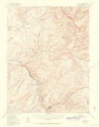
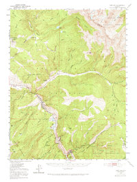
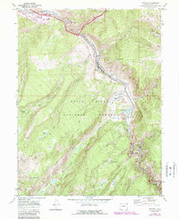
Historical Maps of Dowds Junction Through Time
4 maps found